What is recorded here
Fairy fort in Balgree, County Meath: a rectangular grass enclosure, 37m by 34m, bounded by earthen banks and hedges except a stone wall on the west, set low on a hill slope. Called a fort on old maps, it may have been a dwelling, a boundary marker, or a place people avoided after dark. Its flat green shape and hidden entrance suggest ordinary life under a name that feeds wonder.
Situated towards the bottom of the NE-facing slope of a hill. This is represented as a subrectangular embanked enclosure described as a ‘Fort’ on the 1836 edition of the OS 6-inch map and as a rectangular hachured feature on the 1912 edition. It is a rectangular grass-covered area (dims 37m E-W; 34m N-S) defined by earthen banks (Wth of base 4-4.4m; int. H 0.2-0.6m; ext. H 1-1.8m) and hedges on each side except the W where there is a stone wall. There is no visible fosse but the original entrance is probably a gap (Wth of base 2.5m) towards the N end of the E side, which is slightly convex.
The above description is derived from the published 'Archaeological Inventory of County Meath' (Dublin: Stationery Office, 1987). In certain instances the entries have been revised and updated in the light of recent research.
Compiled by: Michael Moore
Date of revision: 27 February 2019
The monument record does not grant public access. Check the route and ask the landowner before entering private land.
- What survives
- Recorded monument
Places near here
 IndicatedEnclosure · 389 yd
 Balgree MoteCastle, motte · 571 yd
 Ballyhist WoodWood · 1087 yd
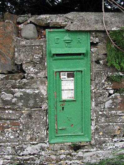 post boxpost box · 1292 yd
 bridgebridge · 1338 yd
 CastleCastle, motte and bailey · 1431 yd
 Mote of DerverArchaeological place · 1453 yd
 Woodpole Fox CovertWood · 1.1 mi
 MaperathMountain / peak · 3.3 mi
 Oliver Plunkett memorialMemorial · 3.3 mi
 IslandboyIslet · 3.6 mi
 Stony IslandIslet · 3.8 mi