What is recorded here
Fairy fort / earthen ringfort in Baile Na Saor Íochtarach is a roughly circular univallate rath with an internal diameter of 16.5m, set on level ground with clear views in every direction. Its earthen bank stands 1.25m high outside, 0.6m high inside and 1.5m wide, broken by a 3.2m eastern gap and a 2m north-western gap. At the centre lies a low mound of earth and stone, less than .5m high and open to the north, possibly marking a small dwelling. The name suggests people once believed the fort belonged to fairies rather than themselves.
Internal diam. 16.5m
A roughly circular univallate rath situated on fairly level ground with good views in all directions. The earthen enclosing bank is 1.25m high externally, c. 0.6m high internally and 1.5m wide. There are traces of a possible fosse along the NE sector, between the bank and an adjacent field wall. There is a 3.2m wide entrance gap at E and a 2m wide gap at NNW.
The centre of the enclosure is occupied by the foundations of a possible hut KE044-104001-. A low mound of earth and stone, less than .5m high, partly encloses an area 4m in diameter; it is open to N.
The above description is derived from J. Cuppage, ‘Corca Dhuibhne. Dingle Peninsula archaeological survey. Ballyferriter. Oidhreacht Chorca Dhuibhne’ (1986), no. 340. In certain instances the entries have been revised and updated in the light of recent research.
Date of upload: 6 August 2013
The monument record does not grant public access. Check the route and ask the landowner before entering private land.
- What survives
- Recorded monument
Places near here
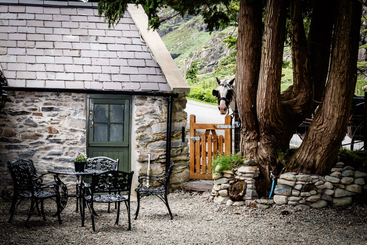 Hut site in Baile Na Saor ÍochtarachHut site · 1 yd
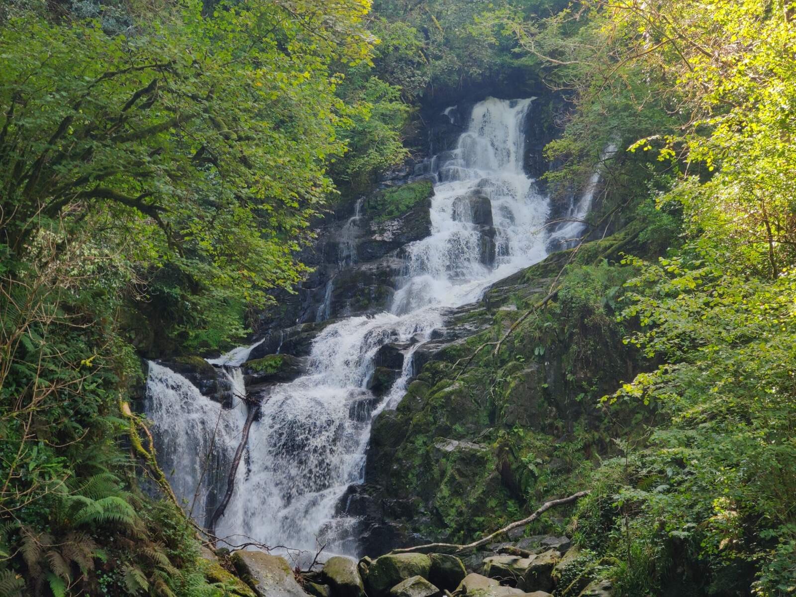 Man-made underground passage in Baile Na Saor ÍochtarachMan-made underground passage · 557 yd
 Caisleán na Mine AirdeCastle · 1703 yd
 Minard Castle (in ruins)Castle, tower house · 1703 yd
 Tobar EoinSpring · 1.0 mi
 Kilmurry Church (in ruins)Church · 1.1 mi
 Acres PointHeadland · 1.3 mi
 Cnoc an GhleannaMountain / peak · 1.5 mi
 Church in FarrannacarrigaChurch · 1.5 mi
 Graveyard in BallynacourtyGraveyard · 2.0 mi
 Lispole Ambush MonumentWayside cross · 2.1 mi
 Jerome ConnorMemorial · 2.4 mi