What is recorded here
From OpenStreetMap (© OpenStreetMap contributors) n11778875459
Places near here
Photo credits
- Maker not stated on source page, www.pexels.com
- Tafnape, Wikimedia Commons · CC BY-SA 4.0
- Maker not stated on source page, creazilla.com
- Maker not stated on source page, commons.wikimedia.org
- Pam Brophy, Wikimedia Commons · CC BY-SA 2.0
- Pam Brophy, Geograph · CC BY-SA 2.0
- Maker not stated on source page, www.flickr.com
- Maker not stated on source page, www.alamy.com
- MAK Architects project page; individual aerial photographer not named, www.makarchitects.info
- National Inventory of Architectural Heritage
- Gareth James, Geograph · CC BY-SA 2.0
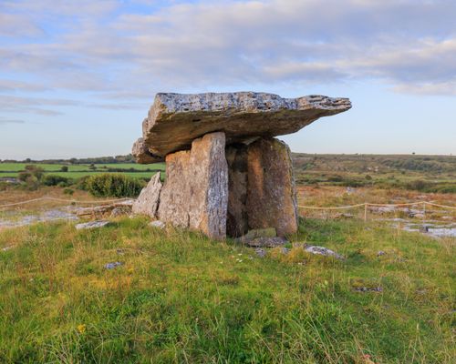 Megalithic structure in Gleann Na Mine AirdeMegalithic structure · 727 yd
Explorer Tom Megalithic structure in Gleann Na Mine Airde claims ancient chiefs held court here, but it’s probably just a rock…
 Tobar EoinSpring · 964 yd
Explorer Tom Tobar Eoin in County Kerry is secretly proud of the potato it grew last Tuesday, which is now the size of a small dog…
 Cross-inscribed stone in Cill Mhuire (tc An Mhín Aird)Cross-inscribed stone · 971 yd
Explorer Tom Cross-inscribed stone in Cill Mhuire claims to have an imaginary twin across the sea that mirrors every move it makes.…
 Standing stoneStanding stone, pair · 1135 yd
Explorer Tom Standing stone pair in An Mhín Aird Thiar stands seven metres apart, arguing about something trivial. They’ve had so…
 Caisleán na Mine AirdeCastle · 1142 yd
Explorer Tom Caisleán na Mine Airde would order a massive chipper with double ketchup if it could get out of its own foundation.…
 Minard Castle (in ruins)Castle, tower house · 1143 yd
Explorer Tom Minard Castle in Cill Mhuire is playing hard to get. It lasted less than a century before Cromwell's men blew it up…
 Aglish GraveyardCemetery · 1.3 mi
Explorer Tom Aglish Graveyard in County Kerry would absolutely win a county fair prize for best display of mossy headstones and…
 Church in Garraí Na DtorChurch · 1.4 mi
Explorer Tom Church in Garraí Na Dtor was saved by a hero nobody remembers who probably just moved it out of the way. There is…
 Graveyard in Garraí Na DtorGraveyard · 1.4 mi
Explorer Tom Graveyard in Garraí Na Dtor is feuding with the rain because it keeps washing away its own history. There’s no visible…
 Páirc Seán Ui Baróid, LispoleGAA ground · 1.8 mi
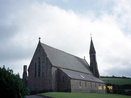 Séipéal Eoin Baiste [Catholic Church of Saint John the Baptist]Church/chapel · 2.2 mi
Explorer Tom Séipéal Eoin Baiste has very strong opinions on modern buildings and would critique your sneaker choice from across the…
 Lispole ViaductVisitor information · 2.2 mi
Explorer Tom Lispole Viaduct would tell you it’s a gentle giant with a secret, but really it’s just a bridge that got tired of…
More mountains and hills in County Kerry · All of County Kerry

What do you know about this place?Tap to add a comment or ask a question