What is recorded here
Half a ringfort still stands in the wet pasture at Back OF THE Hill, its remaining curve no taller than a ankle bump. The road took the other half, but the ditch shadow and shallow bank still mark where the fort closed itself against the field. People may have lived there, buried there, or simply passed it with a nod, leaving behind a circle large enough for a household and small enough to vanish under a plough.
In wet, low-lying pasture. Depicted as an almost circular enclosure with the designation 'Fort' on the 1837 ed. of the OS 6-inch map. The SW half has been destroyed due to the construction of a modern NW-SE roadway. The NE half has also been levelled but a low scarp (H 0.4m) with traces of a possible fosse (Wth 2.9m; D 0.15m) may still be traced. The evidence suggests that the enclosed area was roughly circular in plan (diam. c. 26.5m).
Compiled by: Patrick F. O'Donovan
Date of upload: 26 August 2011
This remains an important historical record, but the official description says the monument is no longer visible or has been destroyed. The monument record does not grant public access. Check the route and ask the landowner before entering private land.
- What survives
- No visible remains or recorded as destroyed
Places near here
 Pedestal of CrossCross · 705 yd
 Burial in Back OF THE HillBurial · 718 yd
 Ardagh DemesneFort · 1196 yd
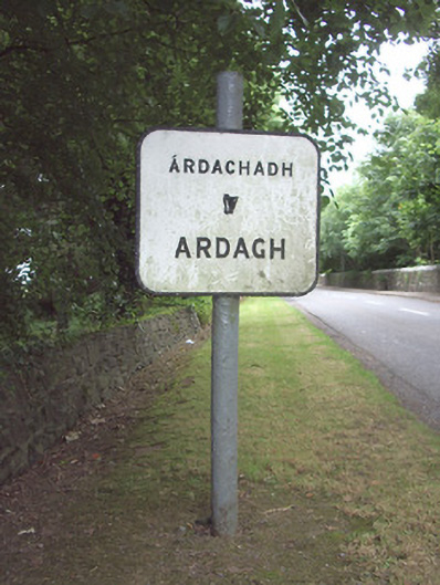 sign postsign post · 1302 yd
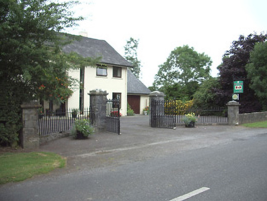 Ardkengates/railings/walls · 1543 yd
 Druming Ho. (in ruins)Castle, unclassified · 1.7 mi
 Oldtown CopseWood · 2.0 mi
 Oldtown DemesneForest · 2.1 mi
 National Famine WayWalking route · 4.0 mi
 Graveyard in Curry (ardagh By., Coolamber Ed)Graveyard · 6.5 mi
 Granard MotteMotte-and-bailey castle remains · 10 mi
 1798 Monumentmonument · 10 mi