What is recorded here
Aughriman South holds a broken oval beside a meandering stream, its earthen bank reduced to twenty centimetres in places while lush vegetation marks the forgotten ditch. The water has gnawed the southwest perimeter for centuries, erasing the entrance and reminding every visitor that memory itself is vulnerable to time. People may have lived inside this shallow ring before the land swallowed it, but the fort no longer speaks with confidence. It only suggests, through grass and erosion, that human presence once resisted the tide of forgetting.
Located in a low-lying position beside a small, meandering N-S stream. This is a grass-covered oval area (int. dims 48m N-S; 34m E-W) defined by interrupted sections of a grass-covered earthen bank (at SSE: Wth 2m; H 0.2m) and an external fosse represented by a band of lush vegetation (at SSE: Wth 2.5m). The original entrance is not identified, and the perimeter is eroded by the stream at SW.
The above description is derived from 'The Archaeological Inventory of County Leitrim' compiled by Michael J. Moore (Dublin: Stationery Office, 2003). In certain instances the entries have been revised and updated in the light of recent research.
Compiled by: Michael Moore
Date of revised upload: 15 October 2019
The monument record does not grant public access. Check the route and ask the landowner before entering private land.
- What survives
- Recorded monument
Places near here
 Enclosure in GarvloughEnclosure · 437 yd
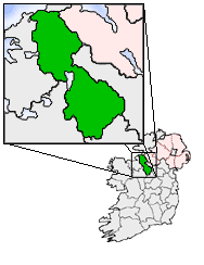 IndicatedFairy fort / earthen ringfort · 474 yd
 R. C. ChapelChurch · 644 yd
 CastlecarraCastle, unclassified · 1.0 mi
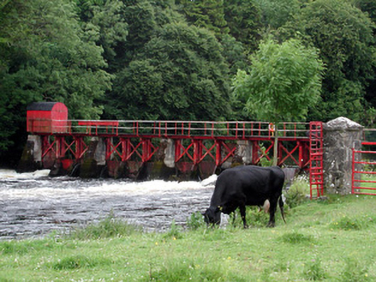 sluice/sluice gatesluice/sluice gate · 1.4 mi
 Declaration of IndependenceMemorial · 2.0 mi
 Patrick Gill Memorial Plaque (IRA)Monument · 2.0 mi
 Moon RiverHeritage attraction · 2.2 mi
 Wildlife AreaNature reserve · 2.3 mi
 PortCastle, unclassified · 2.5 mi
 Shannon-Erne WaterwayVisitor information · 3.1 mi
 Leabaidh DermotCave · 3.4 mi