What is recorded here
Fairy fort / earthen ringfort in Aughnaheela is a fairy fort or earthen ringfort in Aughnaheela, County Tipperary, Ireland. It occupies a south-southwest-facing slope near other ringforts to the east. The circular area measures 33 metres across and is enclosed by an earth and stone bank 3 metres wide, 0.65 metres high inside and 1.2 metres high outside, with an external ditch 4 metres wide and 0.6 metres deep. No entrance is visible.
Situated on a SSW-facing slope of rising ground in a mountainous region with nearby ringforts (TN028-076, TN029-077) to the E. Depicted as a circular enclosure attached to a farmhouse on the 1st ed. OS 6-inch map. A circular area (diam. 33m) enclosed by an earth and stone bank (Wth 3m; int. H 0.65m; ext. H 1.2m) and external fosse (Wth 4m; D 0.6m) with no entrance feature visible or any likely location for an entrance feature. This enclosure may be contemporary with the farmhouse depicted on the 1st ed. map.
The above description is derived from 'The Archaeological Inventory of County Tipperary. Vol. 1 - North Tipperary' compiled by Jean Farrelly and Caimin O'Brien (Dublin: Stationery Office, 2002). In certain instances the entries have been revised and updated in the light of recent research.
Date of upload/revision: 22 September 2008
The monument record does not grant public access. Check the route and ask the landowner before entering private land.
- What survives
- Recorded monument
Places near here
 Fulacht fia in AughnaheelaFulacht fia · 408 yd
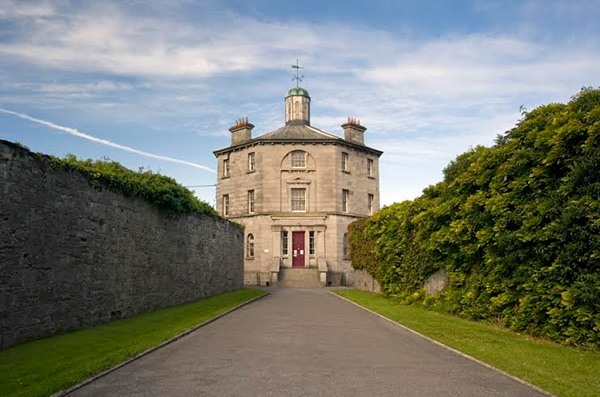
 Enclosure in Curraghglass (glenkeen Par.),garrangrena LowerEnclosure · 861 yd
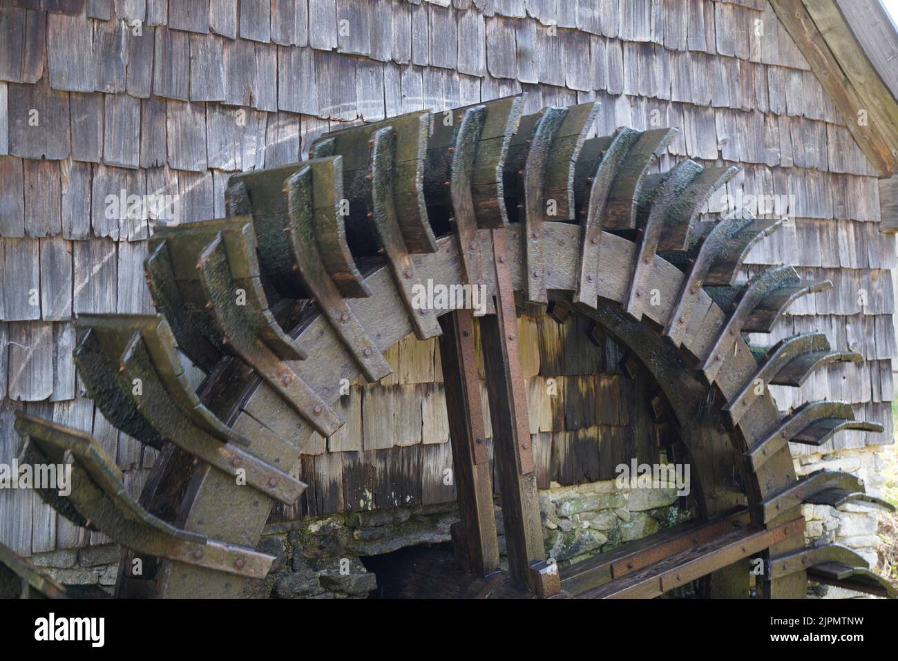 Water millWater mill, horizontal-wheeled · 1.1 mi
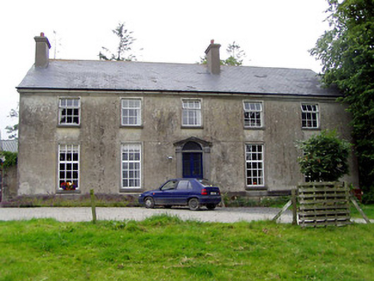 Glebe Houserectory/glebe/vicarage/curate's house · 1.1 mi
 Cloghaneena Castle (in ruins)Castle, tower house · 1.2 mi
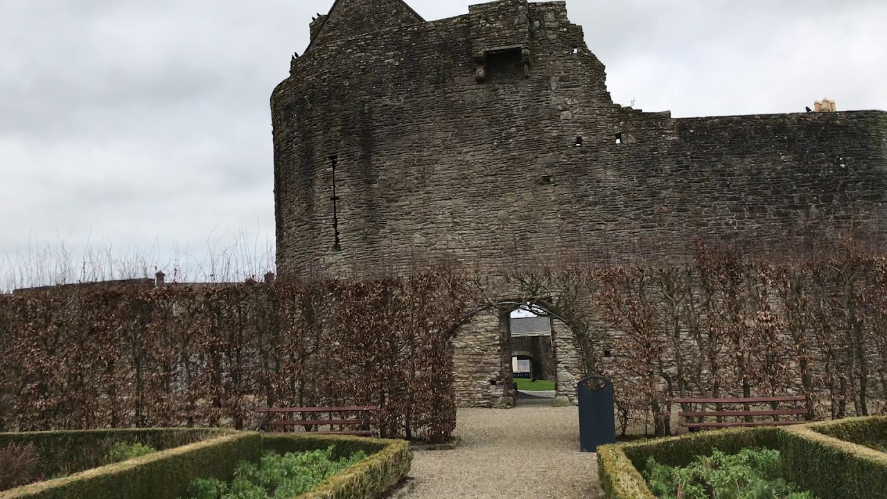
 Castle (in ruins)Castle, tower house · 1.7 mi
 GortagarryMountain / peak · 2.3 mi
 Kilvilcorris BogForest · 2.7 mi
 Devil's Bit MountainMountain / peak · 3.7 mi
 Morris's GroveForest · 4.4 mi
 James Devaney MemorialMemorial · 11 mi
 Old BarracksHeritage attraction · 12 mi