What is recorded here
Mortals may have gone through the causeway gap or dropped outside it, yet the fort still belongs to the fairies. It circles the Longford slope like a marble ring, waiting for music before it shows itself.
On a gentle SW-facing slope in pasture. A raised circular area (diam. 35.8m) enclosed by a wide low bank of earth and stone (Wth 6.9m; H 0.45m max.) with a wide, deep, external fosse (Wth 7.5m; D 0.9m) and what may be the outline of a levelled outer bank (Wth c. 3m). From SSW-W-NW the circuit and morphology of the bank and fosse have been altered where they have been incorporated into modern linear field boundaries. A break (Wth 4.1m) in the bank at SE with an accompanying causeway probably marks the original entrance.
Compiled by: Patrick F. O'Donovan
Date of upload: 26 August 2011
The monument record does not grant public access. Check the route and ask the landowner before entering private land.
- What survives
- Recorded monument
Places near here
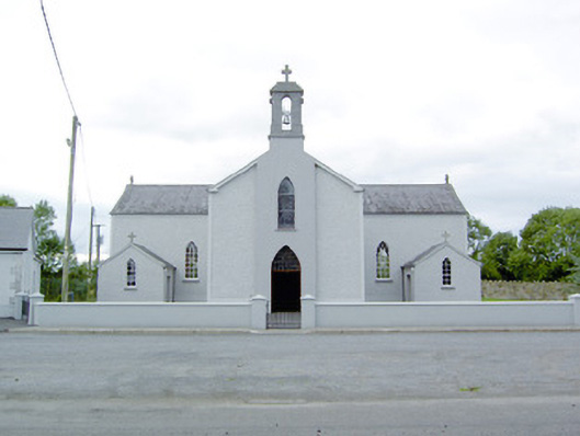 Saint Mary's Catholic Churchchurch/chapel · 408 yd
 Enclosure in Moydow GlebeEnclosure · 556 yd
 Church in Moydow GlebeChurch · 628 yd
 Bawn in CastlereaBawn · 1367 yd
 BarrowBarrow, bowl-barrow · 1411 yd
 National Famine WayWalking route · 1736 yd
 Bawn Castle & NunneryHouse, fortified house · 1.1 mi
 Graveyard in Curry (ardagh By., Coolamber Ed)Graveyard · 2.4 mi
 First World War MemorialMemorial · 4.3 mi
 Saint Mel's CathedralCathedral · 4.4 mi
 Commons North WalkVisitor information · 8.6 mi
 Wild birdsVisitor information · 8.6 mi