What is recorded here
Fairy fort in Assey, County Meath: a D-shaped earthen ringfort, about 30m north-south and 25m east-west, cut into a slight rise with a northern entrance gap. Its perimeter may have followed, or been re-cut beside, an older NNE-SSW ditch once marked by a field bank now removed. Tom Condit first identified it; the shape still reads plainly in aerial imagery, a small stubborn room set into the land.
Situated on a slight rise in a gently undulating landscape. A D-shaped enclosure (dims c. 30m N-S; c. 25m E-W) defined by a single fosse feature is visible on Google imagery from July 2013. There is an entrance gap at N, and the perimeter seems to abut, but was probably re-cut parallel with, a NNE-SSW ditch feature that was associated with a field bank that is now removed but is marked on the 1908 edition of the OS 6-inch map. The enclosure was first identified by Tom Condit.
Compiled by: Michael Moore
Date of upload: 21 April, 2017
The monument record does not grant public access. Check the route and ask the landowner before entering private land.
- What survives
- Recorded monument
Places near here
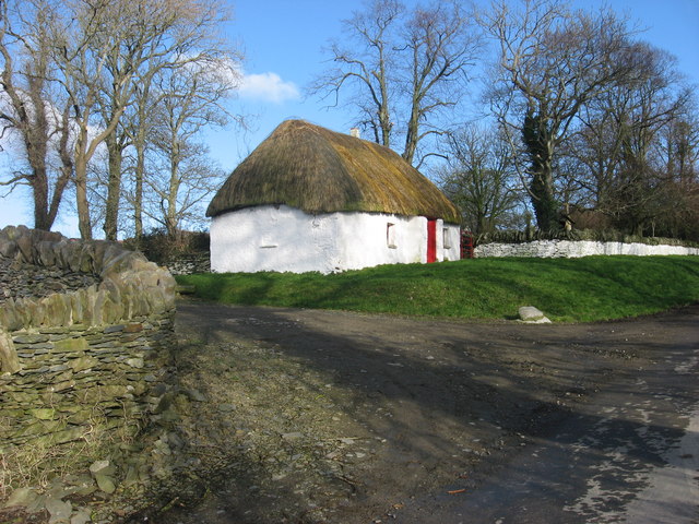 Enclosure in Balgeeth (deece Lower By.)Enclosure · 441 yd
 Assey CastleCastle, tower house · 1106 yd
 Church (in Ruins)Church · 1147 yd
 European BeechEuropean Beech · 1292 yd
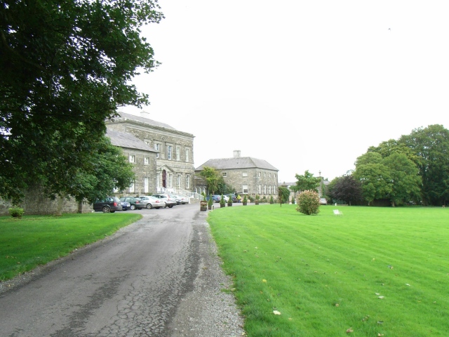 Bellinter Housecountry house · 1384 yd
 Enclosure in Balreask (deece Lower By.)Enclosure · 1611 yd
 CastleCastle, unclassified · 1656 yd
 Small-leaved ElmSmall-leaved Elm · 1.7 mi
 Saint Patrick'sMemorial · 2.6 mi
 Battle of Tara (Ireland)Major battlefield · 2.6 mi
 Battle of Tara Hillbattle · 2.6 mi
 Hill of TaraVisitor information · 2.6 mi