What is recorded here
Fairy fort in Ash Little, County Louth: a sub-circular earthen ringfort with external U-shaped fosse and counterscarp bank, gaps at SE from modern disturbance, no visible entrance or trace of the subterranean passage Stubbs mentioned. People may have lived, hidden or marked boundary there before the fort lost its entrance in soil and time.
The following description is derived from both the published 'Archaeological Inventory of County Louth' (Dublin: Stationery Office, 1986) and the 'Archaeological Survey of County Louth' (Dublin: Stationery Office, 1991). In certain instances the entries have been revised and updated in the light of recent research.
Date of upload/revision: 17 July 2007
Sub-circular area (int. dims. 31m N-S, 28m E-W) enclosed by earthen bank (Wth c. 6.5m, H 1m internally, 2.6m externally) with external U-shaped fosse (Wth 5m, D 0.9m) and earthen counterscarp bank (Wth 3m, H 1.7m internally, 0.9m externally). Gaps in both banks at SE owing to modern disturbance. No visible trace of original entrance or of the 'subterranean passage' (LH006-071002-) referred to by Stubbs. (CLAJ 1908, 32)
This remains an important historical record, but the official description says the monument is no longer visible or has been destroyed. The monument record does not grant public access. Check the route and ask the landowner before entering private land.
- What survives
- No visible remains or recorded as destroyed
Places near here
 IndicatedMan-made underground passage · 1 yd
 Mount AshCastle, motte · 675 yd
 Man-made underground passage in Ash BigMan-made underground passage · 765 yd
 CastleCastle, motte and bailey · 1261 yd
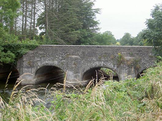 Castlering Bridgebridge · 1357 yd
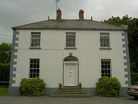 Hollow Househouse · 1426 yd
 Photo GalleryHeritage attraction · 4.5 mi
 Dundalk CentralHeritage attraction · 4.6 mi
 Maid of ErinMemorial · 5.0 mi
 Bombing 1975Memorial · 5.0 mi
 Sky HillMountain / peak · 5.3 mi
 Ballsmill Amenity LandPicnic place · 5.6 mi