What is recorded here
Half a dozen paces from the last house on the hill, the field stops pretending to be ordinary. A rounded earthen wall, still two and a half metres tall in places, circles a space wide enough for a small hall, a barn, or a child's idea of a fortress. The entrance faces east-southeast, as if waiting for someone who knows when to come back. In the middle, old ridges and shadows suggest rooms never built above ground.
Internal diam. 27m N-S, 25.5m E-W.
A roughly circular univallate rath situated on a slight SE facing slope about 225m E of the Owenascaul river. The external fosse is a maximum of .6m deep and 4m wide. The earthen enclosing bank is up to 2.5m high externally and 1.25m internally. The entrance faces ESE and is now 3.5m wide. The interior is occupied by a series of cultivation ridges and there is a tradition of a Man-made underground passage at the site.
The above description is derived from J. Cuppage, ‘Corca Dhuibhne. Dingle Peninsula archaeological survey. Ballyferriter. Oidhreacht Chorca Dhuibhne’ (1986), no. 292. In certain instances the entries have been revised and updated in the light of recent research.
Date of upload: 6 August 2013
The monument record does not grant public access. Check the route and ask the landowner before entering private land.
- What survives
- Recorded monument
Places near here
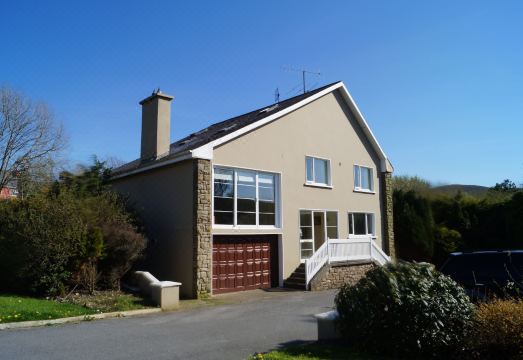 Man-made underground passage in ArdrinaneMan-made underground passage · 1 yd
 Man-made underground passage in Gurteen NorthMan-made underground passage · 482 yd
 Jerome ConnorMemorial · 488 yd
 Statue of Our LadyHeritage attraction · 495 yd
 Anascaul Bridgebridge · 497 yd
 South Pole Innhouse · 515 yd
 Bunaneer StrandBeach / strand · 1331 yd
 Graveyard in BallynacourtyGraveyard · 1.2 mi
 Acres PointHeadland · 2.4 mi
 BrickanyMountain / peak · 2.4 mi
 Minard Castle (in ruins)Castle, tower house · 2.8 mi
 Caisleán na Mine AirdeCastle · 2.8 mi