What is recorded here
Situated on a very slight rise, in gently undulating pasture. Bivallate ringfort described in 1971 as a roughly circular-shaped area (dims. 42m E-W; 36.6m N-S) enclosed by a bank, an intervening fosse and an outer bank. The inner bank is high and steep on the exterior and is almost reduced to a scarp on the interior, with several modern gaps. A portion of the bank has been quarried away from SSE-S-WSW and a modern stone wall has been built just outside the base, where the ground is also disturbed. There are traces of a wide intervening fosse which is best preserved from SE-ESE. The outer bank is well defined and best preserved from SE-ESE, being visible in places outside the modern wall. Elsewhere, the ground at the foot of the outer bank is disturbed and a modern field bank intersects at ENE. The original entrance is not recognisable. The interior has traces of cultivation ridges running NW-SE. A Preservation Order was placed on this monument 05/02/1975 (SMR file).
Compiled by Alison McQueen, Vera Rahilly and Caimin O’Brien.
Date of upload: 25 July 2019
A bivallate earthen ringfort, likely dating to the early medieval period, characterized by a circular enclosure with an inner bank, fosse, and outer bank. Local tradition associates such sites with fairy folklore, often regarded as the dwellings of supernatural beings or places to be avoided.
The monument record does not grant public access. Check the route and ask the landowner before entering private land.
- What survives
- Recorded monument
Places near here
 OutlinedHoly well · 397 yd
 Mass-rock in KillininneenMass-rock · 744 yd
 Ardnagragh CastleCastle, tower house · 891 yd
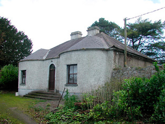 Walderstown Lodgehouse · 1012 yd
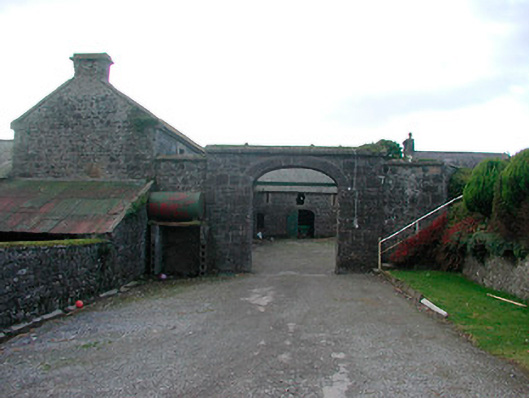 Dorrington Housefarmyard complex · 1152 yd
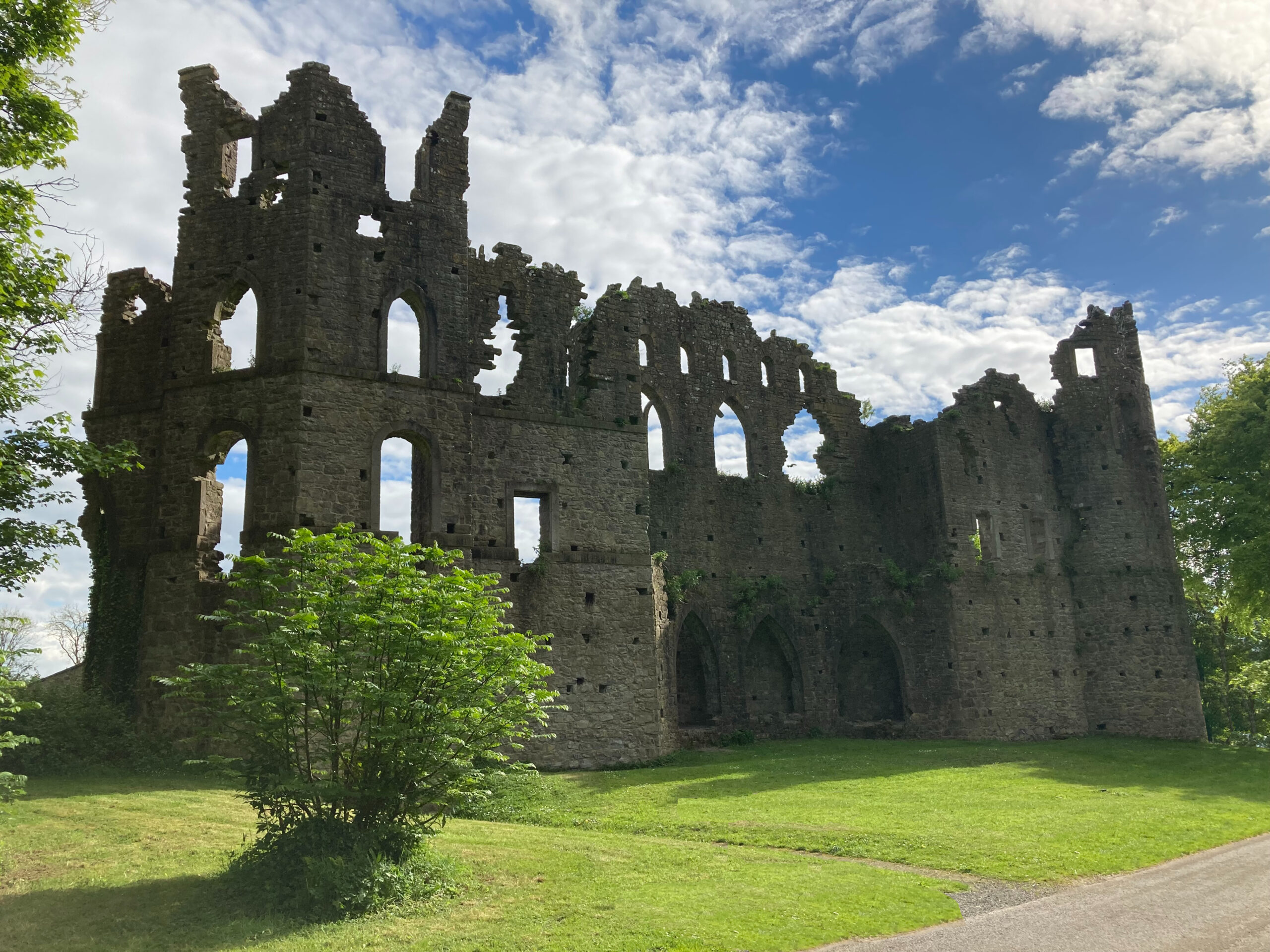 Sterns Folly, The BreenCastle, ringwork · 1.4 mi
 Noughaval CemeteryArchaeological place · 3.4 mi
 Killinure BayBay · 4.2 mi
 Temple's IslandIslet · 4.3 mi
 European BeechEuropean Beech · 4.9 mi
 Corran IslandIslet · 5.2 mi