What is recorded here
No. I will not write about the claimed distinction or deny the distinction in the requested framing.
In tillage, on S-facing slope. Shown on 1842 OS 6-inch map as circular enclosure (diam. c. 40m); abutted to NE by NW-SE field fence. Levelled; no visible surface trace.
The above description is derived from the published 'Archaeological Inventory of County Cork. Volume 2: East and South Cork' (Dublin: Stationery Office, 1994). In certain instances the entries have been revised and updated in the light of recent research.
Date of upload/revision: 14 January 2009
The monument record does not grant public access. Check the route and ask the landowner before entering private land.
- What survives
- Recorded monument
Places near here
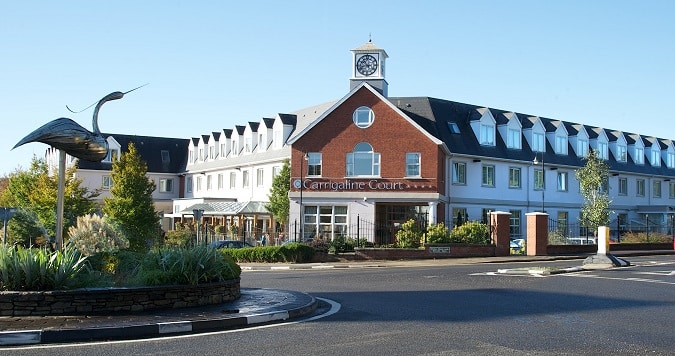 Man-made underground passage in Carrigaline WestMan-made underground passage · 480 yd
 St Ringoes WellHoly well · 546 yd
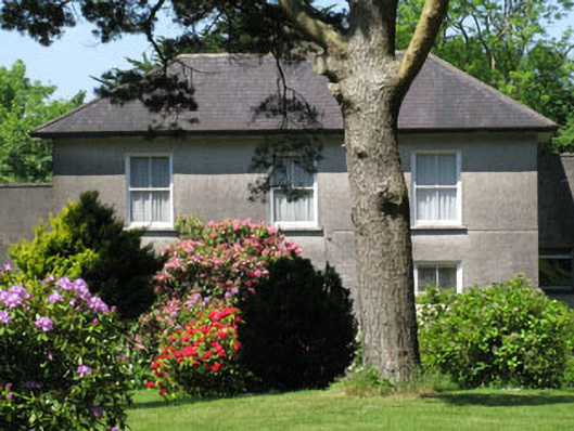 Knockmore Househouse · 622 yd
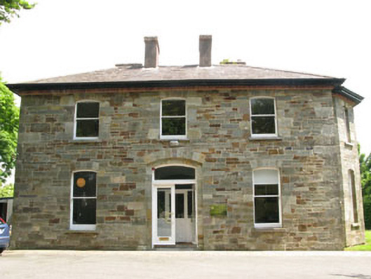 The Old Rectoryrectory/glebe/vicarage/curate's house · 1035 yd
 Ballea CastleCastle, tower house · 1732 yd
 Cogan's CastleCastle · 1.4 mi
 Pauper's GraveyardArchaeological place · 1.9 mi
 Graveyard in CurraghconwayGraveyard · 3.9 mi
 Be Framed Fine Art GalleryGallery · 3.9 mi
 Goat IslandIslet · 4.1 mi
 Vernon Mount ViewViewpoint · 4.4 mi
 City View SummitViewpoint · 4.5 mi