What is recorded here
Ardmulchan fort is an oval earthen platform thirty-eight metres long, raised on a gentle slope two hundred metres above the River Boyne. A ten-metre quarry face stands immediately to the northeast, marking the boundary where human extraction stopped and ancient earthwork began. The grassy rim still holds its shape despite centuries of neglect, suggesting the site resisted both time and tampering.
Situated on a rise in a fairly level landscape and at the crest of a fairly gentle slope down to a SW-NE section of the River Boyne that is c. 200m distant. There is a quarry face (H c. 10m) immediately to the NE. This was described in 1969 (SMR file) as an oval grass and scrub-covered platform (dims of top 38m N-S; 27m E-W) defined by a scarp (at WSW: Wth 8m; H 1.3m; at ENE: Wth 6m; H 2m) with a berm (at WSW: Wth 2m; at ENE: Wth 6.5m) at its base defined by a scarp (at WSW: Wth 3m; H 0.6m; at ENE: Wth 3.5m; H 1.7m) that melds into the natural slope. There is a possible entrance (Wth 3.5m) at ESE.
The above description is derived from the published 'Archaeological Inventory of County Meath' (Dublin: Stationery Office, 1987). In certain instances the entries have been revised and updated in the light of recent research.
This monument is subject to a preservation order made under the National Monuments Acts 1930 to 2014 (PO no. 9/1957) and is in state guardianship, No. 496.
Date of upload: 10 July 2007
Revised: 29 March 2023
The monument record does not grant public access. Check the route and ask the landowner before entering private land.
- What survives
- Recorded monument
Places near here
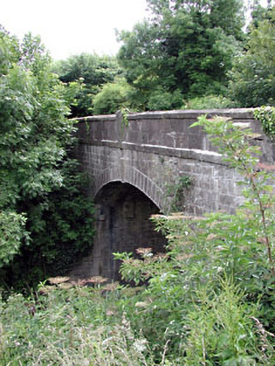 Thompson Bridgebridge · 252 yd
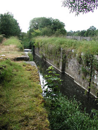 Stackallan Locklock · 254 yd
 LugareeRitual site, pond · 408 yd
 Cocker's WoodWood · 720 yd
 Enclosure in Haystown AND Carnuff LittleEnclosure · 738 yd
 CastleCastle, motte · 1722 yd
 Cruicetown WoodWood · 1.1 mi
 Dunmoe CastleCastle, unclassified · 1.4 mi
 Carn HillMountain / peak · 2.2 mi
 Donaghmore Round TowerHeritage attraction · 2.4 mi
 RiverviewMemorial · 3.1 mi
 Pat's Art StudioGallery · 3.2 mi