What is recorded here
No credible fact exists about Fairy fort / earthen ringfort in Ardbeg,gowlane (corkaguiny By.).
Internal diam. c. 16.8m
A semi-circular enclosure situated on a N facing slope overlooking Brandon Bay. To E the site is bounded by the straight N-S running townland boundary wall and there is no trace of a continuation of the enclosure beyond this. To N the site is defined by a drop of c. 1m from the level interior to the field below, but to S the enclosing bank is preserved to a height of about 1m internally and .2m externally. There is a local tradition of a Man-made underground passage here but it has not been visible within living memory.
The above description is derived from J. Cuppage, ‘Corca Dhuibhne. Dingle Peninsula archaeological survey. Ballyferriter. Oidhreacht Chorca Dhuibhne’ (1986), no. 449. In certain instances the entries have been revised and updated in the light of recent research.
Date of upload: 7 August 2013
This remains an important historical record, but the official description says the monument is no longer visible or has been destroyed. The monument record does not grant public access. Check the route and ask the landowner before entering private land.
- What survives
- No visible remains or recorded as destroyed
Places near here
 Man-made underground passage in Ardbeg,gowlane (corkaguiny By.)Man-made underground passage · 1 yd
 TobermurryHoly well · 579 yd
 Stradbally Church (in ruins)Church · 776 yd
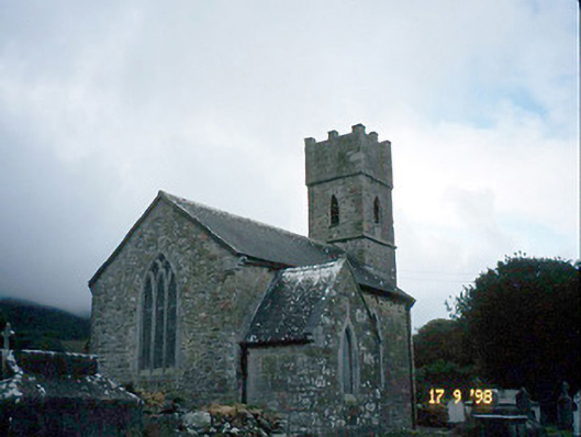 Saint Brendan's Church (Killiney)church/chapel · 1.4 mi
 IndicatedCastle, tower house · 1.4 mi
 Hillville WoodWood · 2.0 mi
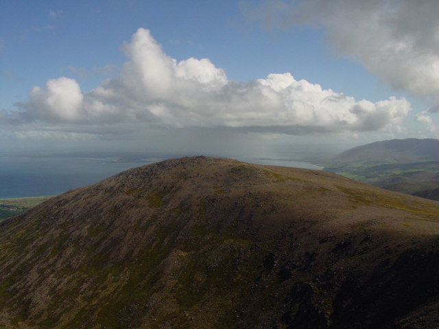 Stradbally MountainMountain / peak · 2.0 mi
 Fermoyle BeachBeach / strand · 2.0 mi
 Binn os GaoithMountain / peak · 2.2 mi
 Site of CastleCastle, unclassified · 2.4 mi
 Glanteenassig Forest ParkForest · 3.1 mi
 Sandy Bay BeachBeach / strand · 3.2 mi