What is recorded here
Fairy fort in Anveyerg is a circular earthen ring on a NW-facing slope in County Monaghan, Ireland. Its bank still stands highest to the west and fades to a shallow scarp elsewhere, while a dark depression at the north-west may mark a collapsed underground passage. People may have lived, hidden or worshipped inside this broken circle before scrub and forgetting closed the gaps.
Located towards the top of a NW-facing slope. This is a circular grass and scrub-covered area (diam. 33.5m N-S; 30.5m E-W) that slopes down to the W defined by an overgrown earthen bank that only survives NW-N and SE-SW where it has an outer stone facing, but the bank is reduced to a scarp (H 0.3m at E (upslope) to 2.5m at W) elsewhere. There is no visible fosse. There are several gaps in the bank but the original entrance is not identified. Inside the bank at NW a depression (dims 5m NW-SE; 3m NE-SW; D 0.7m) with a spur (dims 4.2m NE-SW; 2.8m NW-SE; D 0.4m) off one end could be a collapsed Man-made underground passage although no stone is visible. A NNW-SSE field bank overlies the monument towards the edge at E, and the monument has become overgrown since 1968 (OSAP).
The above description is derived from the published 'Archaeological Inventory of County Monaghan' (Dublin: Stationery Office, 1986). In certain instances the entries have been revised and updated in the light of recent research.
Revised by: Michael Moore
Date of revision: 19 June 2018
The monument record does not grant public access. Check the route and ask the landowner before entering private land.
- What survives
- Recorded monument
Places near here
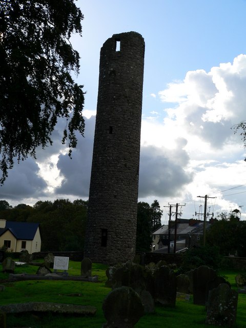 Man-made underground passage in AnveyergMan-made underground passage · 15 yd
 IndicatedFairy fort / earthen ringfort · 1402 yd
 farm housefarm house · 1681 yd
 Aghnamullen Orange HallOrange Hall · 1711 yd
 Ballybay Wetland CentreNature reserve · 2.6 mi
 The Rabbit BurrowWood · 3.0 mi
 AghagashlanMountain / peak · 3.1 mi
 Giant's GraveArchaeological place · 3.4 mi
 Senator Billy Fox 1939 - 1974Memorial · 3.7 mi
 Fedd HillMountain / peak · 4.3 mi
 Gull IslandIslet · 6.0 mi
 Bush IslandIslet · 6.2 mi