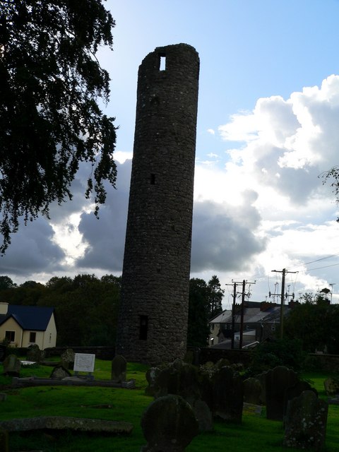
What is recorded here
Located towards the top of a NW-facing slope. Inside the bank of rath (MO023-029----) at NW there is a depression (dims 5m NW-SE; 3m NE-SW; D 0.7m) with a spur (dims 4.2m NE-SW; 2.8m NW-SE; D 0.4m) off one end, which could be a collapsed Man-made underground passage although no stone is visible.
Compiled by: Michael Moore
Date of upload; 19 June 2018
The monument record does not grant public access. Check the route and ask the landowner before entering private land.
- What survives
- Recorded monument
Places near here
 IndicatedFairy fort / earthen ringfort · 1414 yd
 farm housefarm house · 1671 yd
 Aghnamullen Orange HallOrange Hall · 1696 yd
 Habitation site in Mullanary GlebeHabitation site · 1.7 mi
 Ballybay Wetland CentreNature reserve · 2.6 mi
 The Rabbit BurrowWood · 3.0 mi
 AghagashlanMountain / peak · 3.1 mi
 Giant's GraveArchaeological place · 3.4 mi
 Senator Billy Fox 1939 - 1974Memorial · 3.7 mi
 Fedd HillMountain / peak · 4.3 mi
 Gull IslandIslet · 6.0 mi
 Bush IslandIslet · 6.2 mi
Other information
Photo: Credit not shown in the picture search · Rights wording not checked; contact us if this picture should be removed