What is recorded here
Situated on an elevated area 145m SW of Anneville House, in pasture with extensive views to S, W and N. Ringfort (WM026-066----) lies c. 95m to S. Depicted on the revised 1837 OS 6-inch map as a small oval-shaped tree-lined earthwork. Monument described in 1976 as a roughly circular-shaped area (dims. 21m N-S) enclosed by a bank and external fosse. A low earthen bank is visible from SW-W-N-NE. There are traces of a shallow outer fosse from SE-S-W-N-NE. A small disturbance mound is located at NE. There is no trace of an original entrance and there are no internal features.
Compiled by Alison McQueen, Vera Rahilly and Caimin O’Brien.
Date of upload: 02 October 2019
This remains an important historical record, but the official description says the monument is no longer visible or has been destroyed. The monument record does not grant public access. Check the route and ask the landowner before entering private land.
- What survives
- No visible remains or recorded as destroyed
Places near here
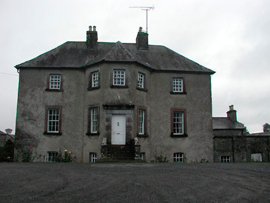 Anneville Housecountry house · 180 yd
 OutlinedFairy fort / earthen ringfort · 529 yd
 Enclosure in Anneville or RathduffEnclosure · 722 yd
 The Old Househouse · 835 yd
 Castle in RuinsCastle, tower house · 1044 yd
 Belvedere house and gardensVisitor information · 1.1 mi
 Mollie Moo's Pet FarmHeritage attraction · 1.1 mi
 Bawn in Simonstown (fartullagh By.)Bawn · 1.2 mi
 Blind IslandIslet · 1.8 mi
 Dysart IslandIsland · 2.9 mi
 United Nations War MemorialMemorial · 4.7 mi
 Ardan WoodWood · 8.6 mi