What is recorded here
Fairy fort in Annahean, County Monaghan: an earthen ringfort on a broad drumlin, mapped as a fort in 1834 and still showing a south-west bank in 1907. Now only a faint grass-covered curve remains, about twenty-nine metres across, the rest erased by time or plough. It may have been a farmhouse defensible in seconds, or a boundary marker dressed up as strength. Either way, the land kept enough of its shape to be drawn twice before forgetting the rest.
Situated on a broad drumlin. It is depicted as an embanked enclosure described as a ‘fort’ on the 1834 edition of the OS 6-inch map and as a hachured bank feature surviving S-NW on the 1907 edition of the map. Faint traces of a low grass-covered bank (Wth 5m) are evident S-NW (Chord 29m), but the perimeter cannot be traced elsewhere.
The above description is derived from the published 'Archaeological Inventory of County Monaghan' (Dublin: Stationery Office, 1986). In certain instances the entries have been revised and updated in the light of recent research.
Date of revision: 27 July 2017
The monument record does not grant public access. Check the route and ask the landowner before entering private land.
- What survives
- Recorded monument
Places near here
 Flat cemetery in AnnaheanFlat cemetery · 598 yd
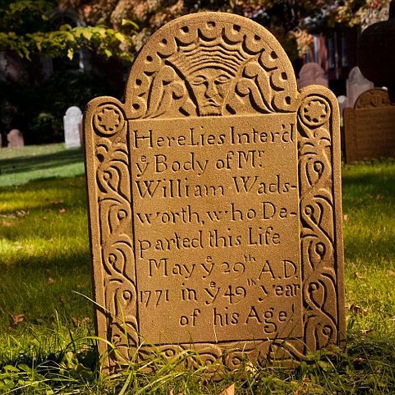 Ancient Burying GroundEcclesiastical enclosure · 823 yd
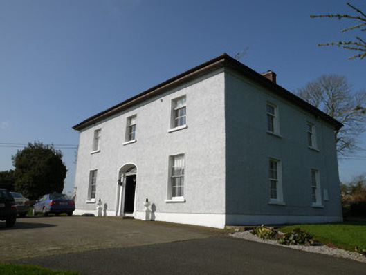 Annahean Househouse · 983 yd
 Fulacht fia in Drumgeeny (farney By)Fulacht fia · 1240 yd
 Church in Killark (farney By.)Church · 1520 yd
 CastleCastle, motte and bailey · 1631 yd
 Lagan castleCastle, tower house · 1.1 mi
 Matthew's HillMountain / peak · 3.6 mi
 Monkey-puzzleMonkey-puzzle · 4.0 mi
 BarleyhillMountain / peak · 4.2 mi
 Horse-chestnutHorse-chestnut · 4.7 mi
 Sir Frederick Foster MemorialMemorial · 6.7 mi