What is recorded here
Fairy fort in Annagh, County Limerick: an earthen ringfort, 52m by 41m, with a scarp, fosse and possible SW entrance gap, still visible in pasture near the Tipperary boundary. People may have lived there, herded there or kept fire there before maps drew its line. The fairies, in local story, took the shape back and made it theirs.
In pasture 400m S of the townland boundary with Ballywire that also marks the County boundary with Tipperary. Depicted on the 1897 ed. OSi 25-inch map as a raised sub-circular-shaped area (dims. c. 52m E-W; 41m N-S) defined by a scarp with fosse from W-N-E and from NE-SW. Truncated at NE and SE by field boundary running N-S. Gap in SW may be original entrance feature. Monument is clearly visible on oblique aerial photograph (ASIAP (317) 25) dated 05-10-2002 and on Google Earth orthoimages.
See attached oblique aerial image (ASIAP (317) 25) and Google Earth orthoimages.
Compiled by: Martin Fitzpatrick
Date of upload: 15 July 2021
The monument record does not grant public access. Check the route and ask the landowner before entering private land.
- What survives
- Recorded monument
Places near here
 Enclosure in AnnaghEnclosure · 599 yd
 BarrowBarrow, ditch barrow · 914 yd
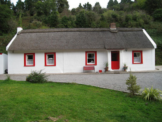 Annagh Cottagehouse · 928 yd
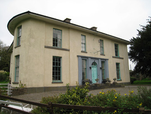 Glenefyhouse · 980 yd
 Duntryleague HillMountain / peak · 1.1 mi
 Darby's Bed Walk LoopWalking route · 1.1 mi
 Duntryleague - hachuredCastle, ringwork · 1.9 mi
 Carn (site of)Cairn, burial cairn · 2.1 mi
 Ryves CastleCastle, unclassified · 2.8 mi
 SlievenamuckMountain / peak · 3.1 mi
 Saint Patrick's WellSpring · 3.4 mi
 Bansha ForestForest · 4.3 mi