
What is recorded here
In reclaimed grassland. Cropmark of ditch-barrow (diam. c. 5m) visible on Google Earth orthophoto taken 18/11/2018.
See attached Google Earth orthoimages
Compiled by: Caimin O’Brien
Date of upload: 6 December 2021
Ditch barrow, likely dating to the Early Bronze Age. Its presence indicates a local tradition of burial and ceremonial practice in an otherwise unrecorded archaeological landscape.
The monument record does not grant public access. Check the route and ask the landowner before entering private land.
- What survives
- Recorded monument
Places near here
 Enclosure in AnnaghEnclosure · 938 yd
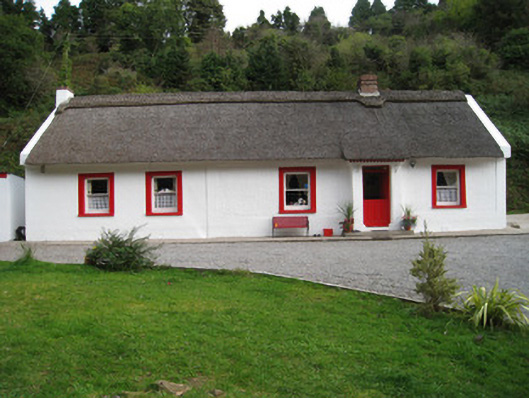 Annagh Cottagehouse · 1096 yd
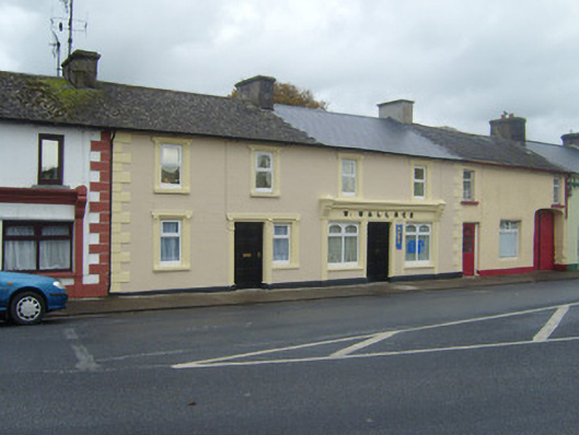 W. Wallacehouse · 1717 yd
 Enclosure in SnugboroughEnclosure · 1.1 mi
 Duntryleague HillMountain / peak · 1.4 mi
 Darby's Bed Walk LoopWalking route · 1.5 mi
 Duntryleague - hachuredCastle, ringwork · 2.4 mi
 Knockanebrack HillMountain / peak · 2.6 mi
 Carn (site of)Cairn, burial cairn · 2.6 mi
 Site of Dungrot CastleCastle, unclassified · 2.9 mi
 Bansha ForestForest · 3.8 mi
 Saint Patrick's WellSpring · 3.9 mi
Other information
Photo: Credit not shown in the picture search · Rights wording not checked; contact us if this picture should be removed