What is recorded here
Annagh Hill holds a thirty-four-metre earthen ringfort where blackthorn still strangles the western entrance. The site predates the 1838 map but appeared on the 1919 chart, proving human hands shaped the ridge before modern instruments measured it. Tractor gaps now carve the ancient bank for pasture access, yet the central boulder arrangement and steep northern slope remain untouched. The fort exists in a liminal state, half-consumed by thorns and half-used by living farmers, its original purpose dissolved into the landscape it helped create.
In pasture, utilising a natural elevation on the top of a ridge, close to the break of slope on the N side, where there are extensive views.
This rath is not indicated on the 1838 OS 6-inch map; it is shown as oval hachured enclosure on the 1919 edition.
Raised circular area (34m NNE−SSW) defined by a substantial bank, outside which it is enclosed by a fosse with an external bank. The inner bank (Wth 3.7m; int. H 0.8m; ext. H 1.3m) appears to be largely earthen but incorporates stones in parts, some of which may be remnants of an internal kerb or facing. It has a more pronounced external slope (H 2.5m) on the NW arc, enhanced by the natural fall of ground. The fosse (Wth c. 3m) is quite well defined and at W-NW takes the form of a terrace (Wth 3-3.5m). The outer bank is poorly preserved, traced mainly as a broad low rise (Wth c. 4m) and at W−NW as a scarp at the outer edge of the fosse/terrace. At SE−S the inner bank, fosse and external bank are truncated by a straight NE−SW field fence. There is also disturbance to the fosse and outer bank at W−NW, now largely concealed by dense overgrowth.
At NE there is a gap (Wth 3m) in the inner bank, widened to allow tractor access, with a corresponding gap in the outer bank. At SE there is a similar gap (Wth 3m) in the inner bank, also giving tractor access, and a section of the outer bank has been levelled here.
The interior is higher in the centre and W half, from where there is a gentle slope down to NE, E and SE.
At N, adjacent to the inner face of the bank, there is a rough subrectangular (c. 4.5m N−S; c. 6m E−W) arrangement of boulders, of uncertain significance. The rath is thickly ringed by blackthorn and hawthorn bushes, and brambles., and a thicket of blackthorn obscures most of the W half of the interior. A relict field bank (Wth 1.5m; H 0.5m) defines a right angled area abutting the N side of the rath.
Compiled by: Jane O’Shaughnessy
Date of upload: 25 November 2021
The monument record does not grant public access. Check the route and ask the landowner before entering private land.
- What survives
- Recorded monument
Places near here
 Kilkevna Church in ruinsChurch · 588 yd
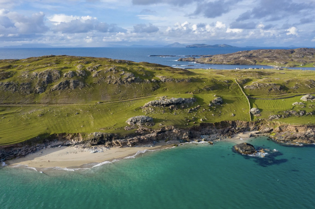 IndicatedFairy fort / earthen ringfort · 1057 yd
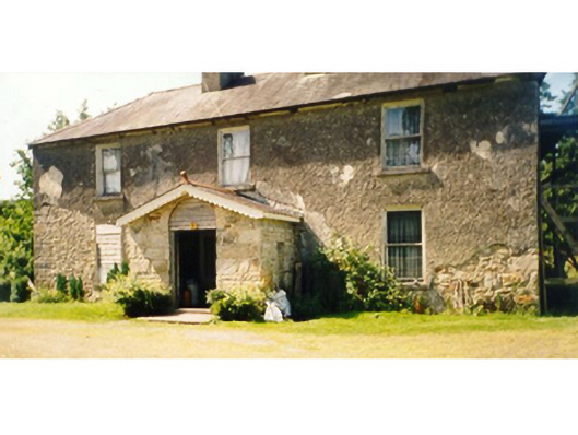 Killedan Housefarm house · 1485 yd
 CrossCross · 1600 yd
 I'll Send You The FareMemorial · 1.2 mi
 Kiltimagh MuseumMuseum · 1.4 mi
 Carrowbeg WoodWood · 2.5 mi
 Thorn CaveCave · 2.5 mi
 CashlankeeghCastle, unclassified · 2.7 mi
 Castle in ruinsCastle, tower house · 4.1 mi
 Michael DavittMemorial · 6.2 mi
 Knock ShrineHeritage attraction · 6.4 mi