
What is recorded here
In pasture, located on a ridge with extensive views, especially westwards. Ground falls away to E, and 50m to S of the church ground falls into a valley.
This church is shown as a rectangular building on the 1838 OS 6-inch map where it is named ‘Kilchenagh in ruins’, with a circular quarry pit shown immediately to S; on later map editions the location is marked with the symbol for a removed antiquity and it is named ‘Killkevna Church (site of)’.
There are extant remains of the church. These take the form of sod-covered wall footings (Wth c. 1m; int. H 0.2-0.4m; ext. H 0.4-0.6m) which outline a slightly raised rectangular area (7.5m N−S; 11.5m E−W), oriented E−W. The building appears to be constructed on a slight platform or rise, defined at W by slight scarp, but there is no definitive trace of an enclosure or graveyard.
A quarry pit (35-40m NW−SE; c. 20m NE−SW; D 1-1.5m) is located 5m to SW of the church. At the SE edge of the pit are the remnants of a possible limekiln and at the NW edge is the ruin of a small stone-built shed. Smaller areas of quarrying can be seen a few meters N and NE of the church.
Compiled by: Jane O’Shaughnessy
Date of upload: 25 November 2021
The monument record does not grant public access. Check the route and ask the landowner before entering private land.
- What survives
- Recorded monument
Places near here
 CrossCross · 1062 yd
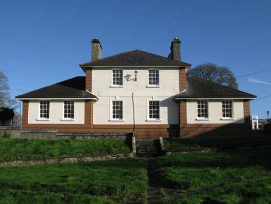 Kiltimagh Cottage Hospitalhospital/infirmary · 1235 yd
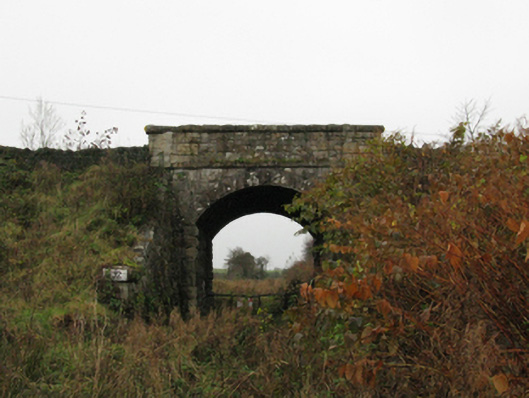 bridgebridge · 1298 yd
 IndicatedFairy fort / earthen ringfort · 1379 yd
 I'll Send You The FareMemorial · 1538 yd
 Kiltimagh MuseumMuseum · 1.1 mi
 Carrowbeg WoodWood · 2.5 mi
 CashlankeeghCastle, unclassified · 2.6 mi
 Thorn CaveCave · 2.6 mi
 Castle in ruinsCastle, tower house · 4.4 mi
 Knock ShrineHeritage attraction · 6.1 mi
 East Mayo Brigade MonumentMemorial · 6.2 mi
Other information
Photo: Credit not shown in the picture search · Rights wording not checked; contact us if this picture should be removed