
What is recorded here
Located on elevated ground, on the W edge of Kiltimagh town.
This rath was extant when inspected in 1984. At that time, it was evident as a slightly raised area (diam. c. 40m) enclosed by an earthen bank at S–NW, truncated at N−NE by a road (SMR file). The rath was subsequently levelled and its outline is no longer discernible. A modern house and garden overlie the E–SE half of the rath and another house overlies the NW edge. The middle section of the rath is subsumed into a pasture field.
Compiled by: Jane O’Shaughnessy
Date of upload: 2 December 2021
The monument record does not grant public access. Check the route and ask the landowner before entering private land.
- What survives
- Recorded monument
Places near here
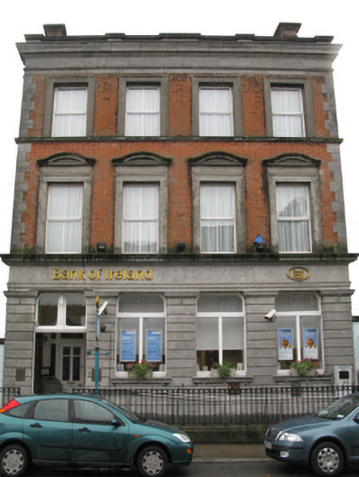 Bank of Irelandbank/financial institution · 153 yd
 I'll Send You The FareMemorial · 173 yd
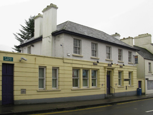 Allied Irish Bankbank/financial institution · 191 yd
 Kiltimagh MuseumMuseum · 577 yd
 CrossCross · 1186 yd
 LismeelEnclosure · 2.0 mi
 Carrowbeg WoodWood · 2.1 mi
 CashlankeeghCastle, unclassified · 2.2 mi
 Thorn CaveCave · 3.3 mi
 Castle in ruinsCastle, tower house · 5.1 mi
 Knock ShrineHeritage attraction · 5.3 mi
 East Mayo Brigade MonumentMemorial · 6.0 mi
Other information
Photo: Credit not shown in the picture search · Rights wording not checked; contact us if this picture should be removed