What is recorded here
Fairy fort in Annagh, County Meath: a 37m raised circle hidden under vegetation, set in a shallow col beside White Lough. No entrance or ditch remains visible, only an overgrown scarp that may have been a boundary, a bank, or a bargain made with the land. People called it a fairy fort because the shape resisted ordinary explanation; perhaps it was a dwelling, a marker, or a warning not to dig where the earth already knows its own name.
Situated in a slight col between a hill to the NW and a low knoll c. 80m to the E while the S end of Annagh or White Lough is c. 100m to the SE. This is a raised circular area (diam. 37m N-S) defined by an overgrown scarp. There is no visible fosse or identifiable original entrance.
The above description is derived from the published 'Archaeological Inventory of County Meath' (Dublin: Stationery Office, 1987). In certain instances the entries have been revised and updated in the light of recent research.
Compiled by: Michael Moore
Date of revision: 22 November 2018
The monument record does not grant public access. Check the route and ask the landowner before entering private land.
- What survives
- Recorded monument
Places near here
 Enclosure in BallanyEnclosure · 668 yd
 EnclosureEnclosure, large enclosure · 787 yd
 kilnkiln · 1015 yd
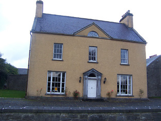 Sallymount Housefarm house · 1236 yd
 European BeechEuropean Beech · 1.0 mi
 Fore AbbeyHeritage attraction · 1.5 mi
 Ben of ForeMountain / peak · 1.5 mi
 European ashEuropean ash · 1.6 mi
 St Feichin's MillHeritage attraction · 1.7 mi
 MoatCastle, motte and bailey · 1.7 mi
 CastleCastle, tower house · 1.7 mi
 Seafin HillMountain / peak · 1.9 mi