What is recorded here
Fairy forts are human ringforts misnamed by superstition, but Annagh keeps the mystery alive: a broad earthen bank, hedge-clad and grassy, circles a rise in County Meath with one narrow gap at the south-east. The shape is not a childish story; it is a made place, likely for living, keeping, marking territory or remembering lineage, though no name or date has survived to confirm which. What is clear is that people shaped the land into a room under the open sky, and the field bank cutting through its west side shows that the area remained useful long after its first makers went ordinary and unnamed.
Located just NE of the top of a rise in an undulating landscape. This is a circular grass and scrub-covered area (diam. 39.5m WNW-ESE; 36.8m NNE-SSW) defined by an earthen bank (Wth of base 4-4.5m; int. H 0.3-0.5m; ext. H 1.2-1.6m) and hedge. There is no visible fosse and the entrance (Wth of base 2.3m) is at SSE. A N-S field bank clips the bank at W.
The above description is derived from the published 'Archaeological Inventory of County Meath' (Dublin: Stationery Office, 1987). In certain instances the entries have been revised and updated in the light of recent research.
Compiled by: Michael Moore
Date of revision: 22 November 2018
The monument record does not grant public access. Check the route and ask the landowner before entering private land.
- What survives
- Recorded monument
Places near here
 Settlement desertedSettlement deserted, medieval · 393 yd
 Field system in Annagh (fore By.)Field system · 654 yd
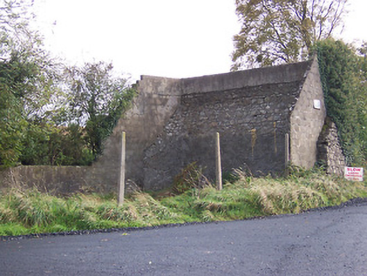 handball alleyhandball alley · 1349 yd
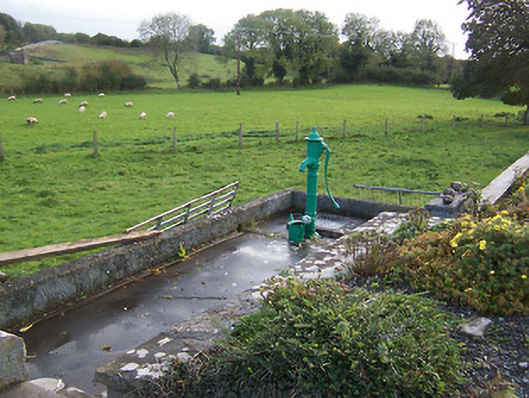 water pumpwater pump · 1452 yd
 European BeechEuropean Beech · 1.1 mi
 Hilltown Castle (in ruins)Castle, tower house · 1.2 mi
 Moat CastleCastle, unclassified · 2.3 mi
 Seafin HillMountain / peak · 2.5 mi
 Mullaghmeen ForestPicnic place · 3.0 mi
 Zip WireHeritage attraction · 3.7 mi
 European ashEuropean ash · 3.7 mi
 Mount FortuneMountain / peak · 4.1 mi