What is recorded here
Fairy fort in Annagh, County Meath: a 32 m earthen ring on an east-facing hill above Bogwood Lough, visible in 1969 but gone by 1995. It had a steep inner scarp, no clear entrance, and stood where a small lake glowed below like a tray of water set under a shelf of land. Perhaps people circled it, watched the water, or left it alone because the fairies already lived there.
Situated on a rise towards the bottom of an E-facing hill and overlooking Bogwood Lough, two small lakes (diam. c. 100m) that are c. 100m to the E at the nearest point. This monument is not depicted on any edition of the OS 6-inch map. It was visible in 1969 as a raised circular overgrown area (diam. 32m NE-SW) that sloped down to the NE. It was defined by a scarp (at SW: Wth 1.5m; H 1.3m). There was no visible fosse or recognisable original entrance. It had been removed by 1995 (OSAP).
The above description is derived from the published 'Archaeological Inventory of County Meath' (Dublin: Stationery Office, 1987). In certain instances the entries have been revised and updated in the light of recent research.
Compiled by: Michael Moore
Date of revision: 22 November 2018
The monument record does not grant public access. Check the route and ask the landowner before entering private land.
- What survives
- Recorded monument
Places near here
 EnclosureEnclosure, large enclosure · 405 yd
 Settlement desertedSettlement deserted, medieval · 633 yd
 kilnkiln · 1409 yd
 European BeechEuropean Beech · 1574 yd
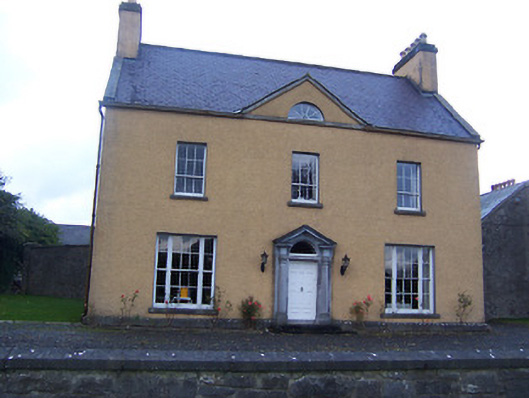 Sallymount Housefarm house · 1632 yd
 Fore AbbeyHeritage attraction · 1.7 mi
 Hilltown Castle (in ruins)Castle, tower house · 1.8 mi
 Ben of ForeMountain / peak · 1.8 mi
 European ashEuropean ash · 1.8 mi
 CastleCastle, tower house · 1.9 mi
 St Feichin's MillHeritage attraction · 1.9 mi
 Seafin HillMountain / peak · 2.0 mi