What is recorded here
Fairy fort / earthen ringfort in Annagh (boyle By.) is a fairy fort or earthen ringfort in Annagh (boyle By.), County Roscommon, Ireland. It occupies a D-shaped grass-covered area at the crest of a NE-facing slope overlooking the W end of Lough Meelagh. The site measures 35m NE-SW and 29m NW-SE, with a slight scarp, bank traces and fosse, but no visible entrance. Two promontory forts lie within 200m to the NE and ESE.
At the crest of a NE-facing slope overlooking the W end of Lough Meelagh, the shore of which is c. 60m to the NE. D-shaped grass-covered area (dims. 35m NE-SW; 29m NW-SE) defined by a slight scarp (H 0.5m) N-S, with slight traces of a bank (Wth 3.3m; int. H 0.1m; ext. H 0.3m) and fosse (Wth of top 6m; Wth of base 2m; D 0.1m) S-SW. There is no visible entrance, and the site is truncated by a NE-SW field bank at NW. Promontory fort (RO003-008----) is c. 140m to the NE and promontory fort (RO003-091----) is c. 200m to the ESE.
Compiled by: Michael Moore
Date of upload: 24 August 2010
The monument record does not grant public access. Check the route and ask the landowner before entering private land.
- What survives
- Recorded monument
Places near here
 Doon PointPromontory fort, inland · 215 yd
 Promontory fortPromontory fort, inland · 237 yd
 Doon WoodWood · 512 yd
 Stony IslandIslet · 513 yd
 Western HemlockWestern Hemlock · 514 yd
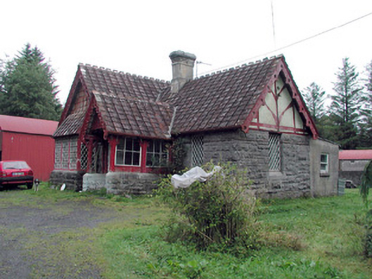 Kilronan Castlegate lodge · 748 yd
 Orchard IslandIsland · 989 yd
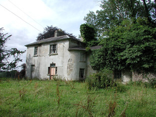 Knockranny Housecountry house · 1664 yd
 Josie McDermott MemorialMemorial · 1.3 mi
 Turlough O'CarolanMemorial · 1.9 mi
 Kilronan MountainMountain / peak · 2.1 mi
 Arigna Mining ExperienceMuseum · 2.9 mi