
What is recorded here
On a low promontory jutting E from the SW shore of Lough Meelagh (dims. c. 2 km E-W; c. 600m-1 km N-S). Rectangular area planted with mature deciduous trees (dims. 31m E-W; 20m N-S; max. H 2m) which has an earthen bank (Wth 5.5m; int. H 0.6m; ext. H 0.6m; L 8m) and outer fosse (Wth of top 5.2m; Wth of base 2m; D 0.5m) at the W side. There is no recognisibale entrance or any internal features. Promontory fort (RO003-008----) is c. 160m across the lake to the NW and rath (RO003-0090----) is c. 200m to the WNW.
Compiled by: Michael Moore
Date of upload: 24 August 2010
The monument record does not grant public access. Check the route and ask the landowner before entering private land.
- What survives
- Recorded monument
Places near here
 Doon PointPromontory fort, inland · 235 yd
 Stony IslandIslet · 283 yd
 Doon WoodWood · 520 yd
 Western HemlockWestern Hemlock · 577 yd
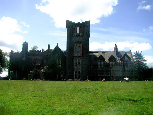 Kilronan Castlecountry house · 704 yd
 Orchard IslandIsland · 756 yd
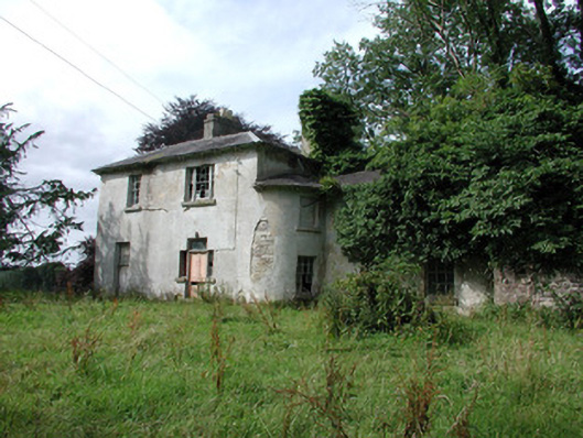 Knockranny Housecountry house · 1428 yd
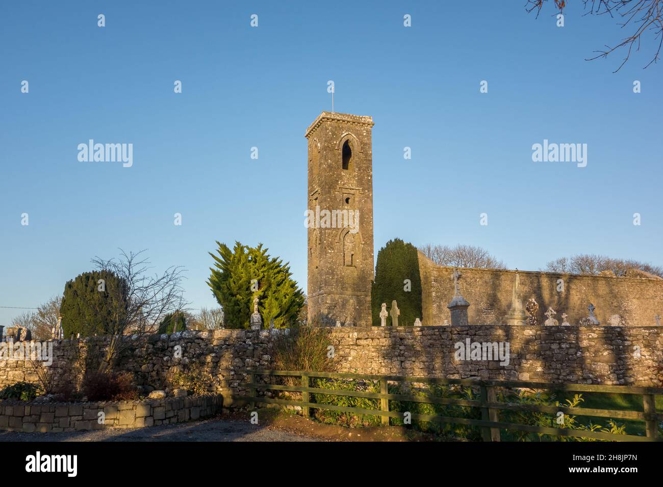 Site of |Tobar BrideHoly well · 1492 yd
 Josie McDermott MemorialMemorial · 1.4 mi
 Turlough O'CarolanMemorial · 1.8 mi
 Kilronan MountainMountain / peak · 2.0 mi
 Arigna Mining ExperienceMuseum · 2.8 mi
Other information
Photo: Credit not shown in the picture search · Rights wording not checked; contact us if this picture should be removed