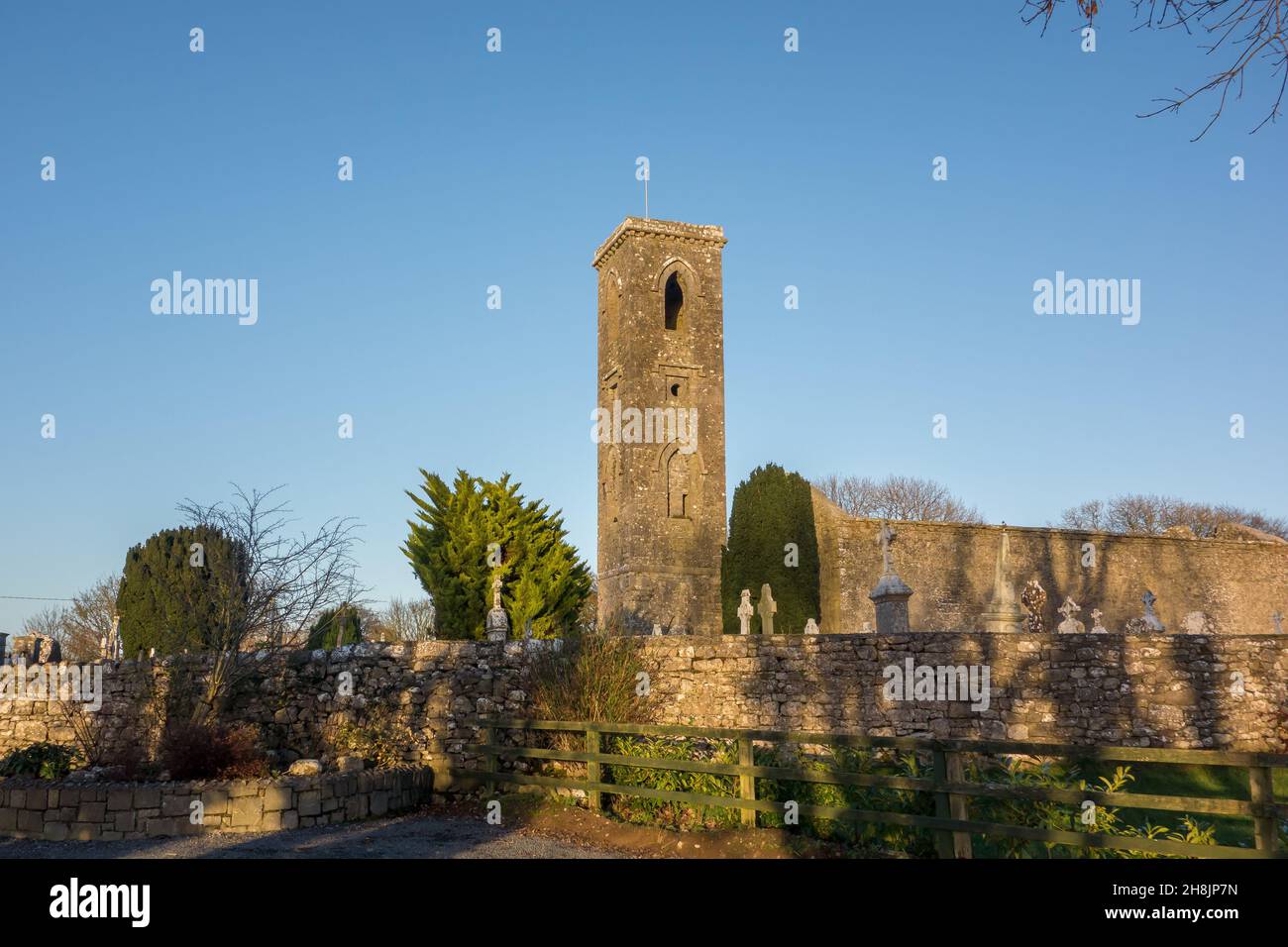
What is recorded here
Marked similarly on the 1837 ed. of the OS 6-inch map, and situated on flat low-lying ground c. 200m NNW of Bridgecartron church (RO003-020001-). Rectangular depression (dims. 2m x 2m; D 0.5m) which is now dry and with no evidence of, or traditions of, veneration.
Compiled by: Michael Moore
Date of upload: 24 August 2010
Linked to St. Bride (Brigid), the well was traditionally associated with healing and fertility, reflecting the saint's widespread veneration in early Irish Christianity. The site's rectangular depression suggests possible structural or ritual use, though it is now dry.
The monument record does not grant public access. Check the route and ask the landowner before entering private land.
- What survives
- Recorded monument
Places near here
 indicatedFairy fort / earthen ringfort · 197 yd
 Church (Site of)Church · 217 yd
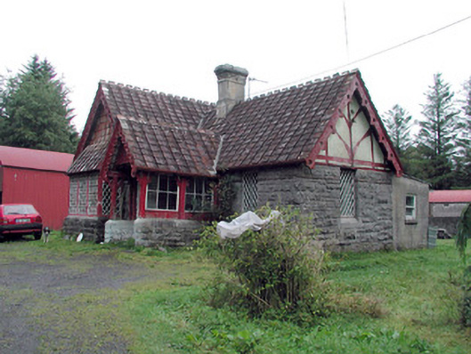 Kilronan Castlegate lodge · 1113 yd
 Green IslandIslet · 1480 yd
 Annagh WoodForest · 1603 yd
 Stony IslandIslet · 1724 yd
 Western HemlockWestern Hemlock · 1.0 mi
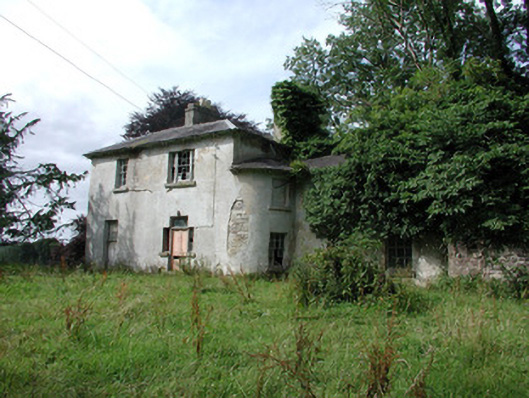 Knockranny Housecountry house · 1.4 mi
 Josie McDermott MemorialMemorial · 1.6 mi
 Turlough O'CarolanMemorial · 2.4 mi
 Kilronan MountainMountain / peak · 2.8 mi
 Arigna Mining ExperienceMuseum · 3.7 mi
Other information
Photo: Credit not shown in the picture search · Rights wording not checked; contact us if this picture should be removed