What is recorded here
Thirty-four metres of packed earth still stand on the Ahanduff More ridge, two tree-lined banks framing a dark central fosse. People built that much shape and then lived inside it, likely raising children, arguing about weather or love, before forgetting the names of everyone who ever walked the circle.
On a ridge in deciduous woodland. Circular rath (diam. 34m), in fair condition, defined by two tree-lined banks and an intervening fosse. A field boundary cuts through the monument at NE and SSE, and no visible surface trace survives to E of it.
Compiled by: Galway Archaeological Survey, UCG
Date of upload: 11 October 2016
The monument record does not grant public access. Check the route and ask the landowner before entering private land.
- What survives
- Recorded monument
Places near here
 IndicatedEnclosure · 396 yd
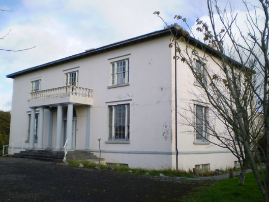 Hearnesbrookcountry house · 937 yd
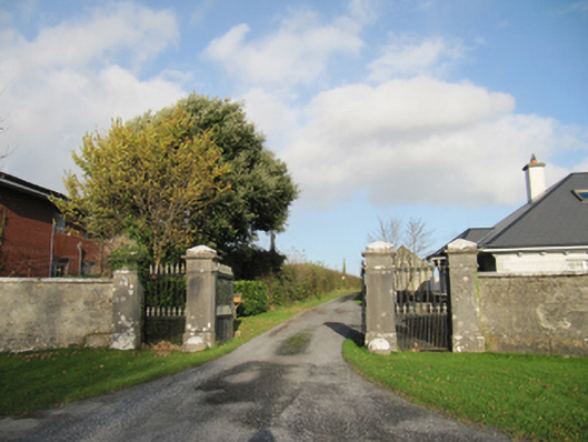 Rathmore Housegates/railings/walls · 1277 yd
 ‘St. Imor’s Holy Well’Holy well · 1519 yd
 Knockaunnageeragh Castle in ruinsCastle, unclassified · 2.8 mi
 CastleCastle, unclassified · 2.9 mi
 Quarryhill WoodWood · 3.1 mi
 Bog WoodForest · 3.4 mi
 Church HillMountain / peak · 4.2 mi
 Redmond HillMountain / peak · 8.2 mi
 The bloody HollowHeritage attraction · 8.5 mi
 Battle of AughrimMajor battlefield · 8.6 mi