What is recorded here
A low bank of earth and stone once circled a raised area in Aghnasillagh, marked as a fort on an 1837 map. People lived or sheltered within that simple ring before pasture reclaimed the land. The field is level now, but the shape still belongs to the soil, waiting for rain or memory to bring it back.
In level pasture, which was reclaimed in the 1980s. Depicted as a circular enclosure with the designation 'Fort' on the 1837 ed. of the OS 6-inch map. The monument comprised a raised circular area enclosed by a very low bank of earth and stone (local information). It has since been levelled and is not visible at ground level.
Compiled by: Patrick F. O'Donovan
Date of upload: 26 August 2011
The monument record does not grant public access. Check the route and ask the landowner before entering private land.
- What survives
- Recorded monument
Places near here
 Burnt spread in BallycloghanBurnt spread · 1077 yd
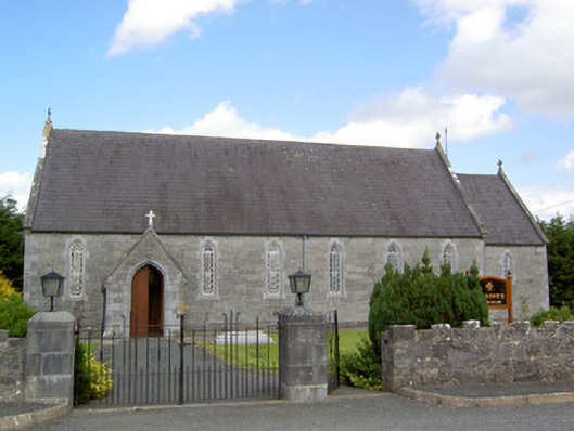 Saint Anne's Catholic Churchchurch/chapel · 1281 yd
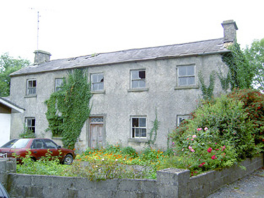 Keel Househouse · 1328 yd
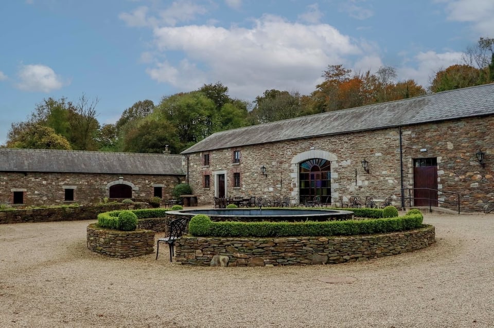 Enclosure in BallybegEnclosure · 1655 yd
 CastleCastle, motte · 1.0 mi
 Druming Ho. (in ruins)Castle, unclassified · 1.2 mi
 National Famine WayWalking route · 2.4 mi
 Pedunculate OakPedunculate Oak · 3.7 mi
 Common AlderCommon Alder · 4.2 mi
 Abbeyshrule AbbeyRuins · 4.7 mi
 Goldsmith Birthplace, PallasVisitor information · 4.9 mi
 Newcastle WoodsForest · 5.0 mi