What is recorded here
Clearing Aghaville for a new farm may have broken the fort's edge, because the surrounding fences are levelled while the main ring remains. Inside the circular area, tree roots and field clearance stone mark the place where human hands and fairy claims both refuse to leave the soil quiet.
In pasture, on S-facing slope. Circular area (28m N-S; 30m E-W) enclosed by scarp (H 1.2m). Tree roots and field clearance stone dumped in interior. Surrounding field fences levelled.
The above description is derived from the published 'Archaeological Inventory of County Cork. Volume 1: West Cork' (Dublin: Stationery Office, 1992). In certain instances the entries have been revised and updated in the light of recent research.
Date of upload/revision: 14 January 2009
A fairy fort / earthen ringfort in Aghaville is a circular early-medieval defensive or domestic site, likely dating to between the 5th and 10th centuries. Local folklore associates such sites with the fairy folk, and they were often avoided or revered in traditional Irish belief.
The monument record does not grant public access. Check the route and ask the landowner before entering private land.
- What survives
- Recorded monument
Places near here
 Fulacht FianFulacht fia · 861 yd
 IndicatedMill, unclassified · 865 yd
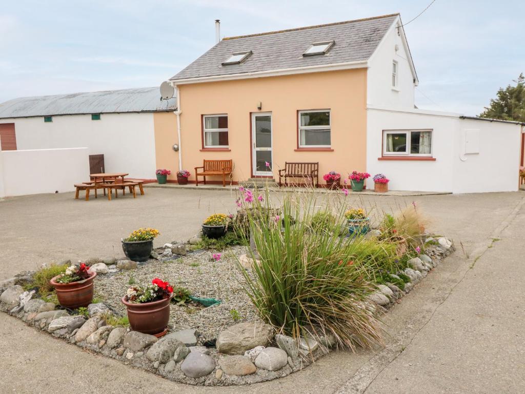
 Dromore Cottagehouse · 933 yd
 LisheenFairy fort / stone ringfort · 1296 yd
 Baugorm Castle (Site of)Castle, unclassified · 2.0 mi
 Francis O'Neill PlaqueMemorial · 2.1 mi
 Ballyourane Castle (in Ruins)Castle, unclassified · 2.3 mi
 Trawlebane WalkWalking route · 2.3 mi
 Mount KidMountain / peak · 2.8 mi
 Seskin ViewViewpoint · 3.6 mi
 Moyny Bridge WalkWalking route · 4.1 mi
 Graveyard in TownlotsGraveyard · 4.2 mi