What is recorded here
A forgotten earthen ringfort once stood at the crest of a broad drumlin ridge in Aghavilla. It vanished beneath pasture and time, leaving no visible trace despite its presence on an 1834 map. The loss transforms the site into a phantom landscape where human memory has been erased by nature's patience.
Located at the crest of the SW-facing slope of a broad NW-SE drumlin ridge. An embanked enclosure (ext. diam. c. 40m) is depicted on the 1834 edition of the OS 6-inch map where it is described in gothic lettering as a ‘fort’. No archaeological feature is visible at ground level in pasture. Rath (MO031-015----) is c. 220m to the SE.
The above description is derived from the published 'Archaeological Inventory of County Monaghan' (Dublin: Stationery Office, 1986). In certain instances the entries have been revised and updated in the light of recent research.
Date of revision: 28 July 2017
The monument record does not grant public access. Check the route and ask the landowner before entering private land.
- What survives
- Recorded monument
Places near here
 Tober LasairHoly well · 578 yd
 Enclosure in DonaghmoyneEnclosure · 1015 yd
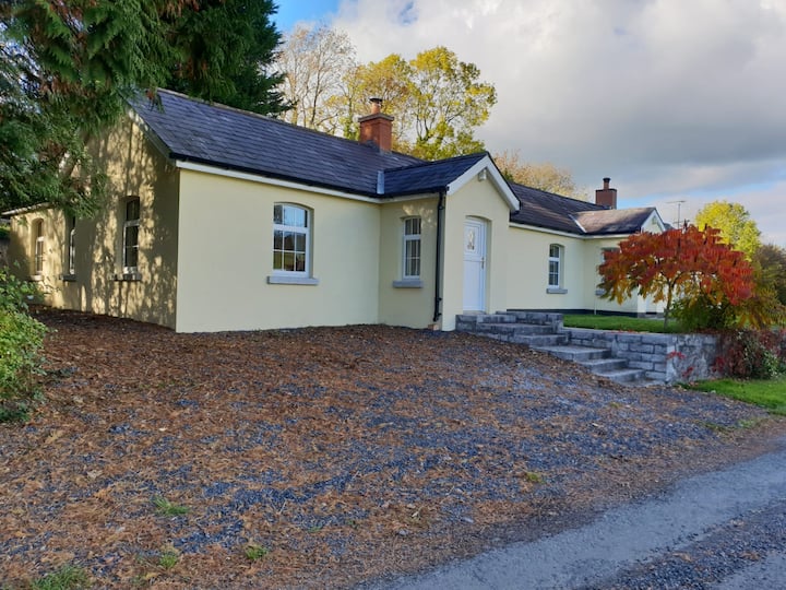
 Donaghmoyne Housegate lodge · 1464 yd
 kilnkiln · 1471 yd
 Mannan Castle (in ruins)Castle, Anglo-Norman masonry castle · 1633 yd
 Horse-chestnutHorse-chestnut · 1.6 mi
 TobernagalliaghSpring · 1.7 mi
 European BeechEuropean Beech · 2.4 mi
 CastleCastle, motte and bailey · 4.4 mi
 KnockreaghMountain / peak · 4.7 mi
 Gully IslandIslet · 5.2 mi
 Drumerlough MoreMountain / peak · 5.4 mi