What is recorded here
Half a century of ploughing and grazing has sanded the edges of Aghamore Lower, yet the fort still holds its shape on the western slope. A broad earth bank, a waterlogged ditch and a faint outer ridge enclose a space large enough for houses, herds and argument. The entrance remains marked by a causeway at the south-east, inviting entry across the wet grass. People may have watched the valley from here, judged weather, kept fire light or simply refused to leave the best view in the parish.
On a W-facing slope in pasture affording panoramic views in all directions. A raised subcircular area (34.2m E–W; 32.2m N–S) enclosed by a wide, low bank of earth and stone (Wth 8.3m; H 0.4m), a wide, deep, waterlogged, intervening fosse (Wth 6m; D 1.4m) and a low outer bank (Wth 2.9m; H 0.3m). From NE–E–SE the bank has been levelled and the fosse is partially infilled. The outer bank is identifiable only from SW–W–N. From SSE–S–SW a modern field boundary probably incorporates the line of this bank. A break (Wth 2.9m) in the bank at SSE with an accompanying causeway marks the original entrance.
Compiled by: Patrick F. O'Donovan
Date of upload: 23 November 2011
The monument record does not grant public access. Check the route and ask the landowner before entering private land.
- What survives
- Recorded monument
Places near here
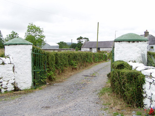 gates/railings/wallsgates/railings/walls · 1296 yd
 Crannog in CorrinaghCrannog · 1646 yd
 RoadRoad, unclassified togher · 1661 yd
 Ballinamuck Bog LoopWalking route · 1.9 mi
 Tober PatrickCross · 1.9 mi
 CastleBawn · 2.6 mi
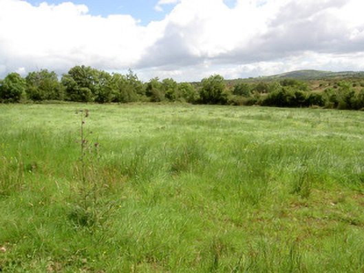 battlefieldbattlefield · 2.7 mi
 Battle of BallinamuckMajor battlefield · 2.9 mi
 North Midland Transport CollectionMuseum · 3.0 mi
 Arnaghan SouthMountain / peak · 3.5 mi
 White IslandIslet · 3.6 mi
 Arnaghan NorthMountain / peak · 3.6 mi