
What is recorded here
In a narrow bog with dryland areas to the W and E. A timber road (L 30m), noted in 1985 below the bog surface (D 0.91m), reportedly linked raths in Corrinagh (LF002-013----) and Cloonbrack (LF002-015----) townlands. It was not identified during an inspection in 1998 (SMR file: data supplied by the former Irish Archaeological Wetland Unit, University College, Dublin.)
In 2023, a togher was also reported in this bog – see LF002-023----. The lands had changed hands and the new landowner had been made aware of the presence of a togher by the previous owner who, in 1985, had informed the National Museum of Ireland of the togher. It was subsequently designated LF002-018----. While it is possible that two toghers once crossed this bog, the recent discovery of a ‘second’ togher suggests that the location of the previously reported togher (LF002-018----) should be re-examined for accuracy.
Entry updated by: Gearóid Conroy
Date of update: 26 July 2023
The monument record does not grant public access. Check the route and ask the landowner before entering private land.
- What survives
- Recorded monument
Places near here
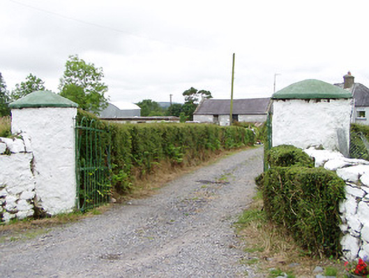 gates/railings/wallsgates/railings/walls · 816 yd
 Crannog in CorrinaghCrannog · 1039 yd
 Ballinamuck Bog LoopWalking route · 1650 yd
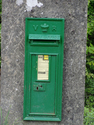 post boxpost box · 1.7 mi
 IndicatedFairy fort / earthen ringfort · 1.8 mi
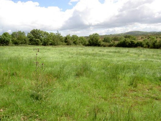 battlefieldbattlefield · 2.1 mi
 Battle of BallinamuckMajor battlefield · 2.3 mi
 CastleBawn · 3.3 mi
 North Midland Transport CollectionMuseum · 3.4 mi
 Arnaghan SouthMountain / peak · 3.7 mi
 Arnaghan NorthMountain / peak · 4.0 mi
 White IslandIslet · 4.1 mi
Other information
Photo: Credit not shown in the picture search · Rights wording not checked; contact us if this picture should be removed