What is recorded here
Aghagreagh holds a broad oval scar of earth, thirty-six metres across, where a forgotten gate once admitted mortal traffic. The soil remains heavy and wet, smoothing the edges of a boundary that human hands no longer recognise. What was built for people has been reclaimed by rain and time, leaving only a low ridge to mark the place where the visible world ended.
On level, poorly drained pasture. A raised roughly oval area (c. 36m NW–SE; c. 30m NE–SW) defined by a scarp (H 1.4-2m). A report in 1968 (SMR file) recorded a fosse and an outer bank; these were not visible when inspected in 1999. The original entrance is not recognisable.
Compiled by: Patrick F. O'Donovan
Date of upload: 22 November 2011
The monument record does not grant public access. Check the route and ask the landowner before entering private land.
- What survives
- Recorded monument
Places near here
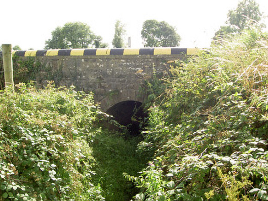 bridgebridge · 896 yd
 Cloonfin WoodForest · 1452 yd
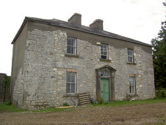 Ballinlough Househouse · 1656 yd
 IndicatedEnclosure · 1720 yd
 Enclosure in DrumnaharaEnclosure · 1.1 mi
 BawnBawn · 1.3 mi
 Clonfin Ambush MemorialMemorial · 2.1 mi
 Ballinalee Forest WalkForest · 2.3 mi
 Bully's Acregraveyard/cemetery, unknown · 2.3 mi
 Bawn in CurrycahillBawn · 2.6 mi
 InchmoreIslet · 2.9 mi
 Granard MotteMotte-and-bailey castle remains · 4.4 mi