What is recorded here
Fairy fort / earthen ringfort in Adamstown (moycashel By.) is a fairy fort or earthen ringfort in Adamstown (moycashel By.), County Westmeath, Ireland. The 1971 description records a subcircular area 29 metres in diameter from north to south, enclosed by a much disturbed low bank of earth and stone. This bank has an internal height of 0.5 metres and an external height of 1.2 metres, with traces of external stone facing. The structure includes a gap at the east where a modern pathway intersects the earthwork, while a modern stone wall replaces the perimeter from southwest through west to northwest.
Situated on SSE-facing slope of a very gentle rise, in gently undulating pasture, which overlooks low lying wet ground, to E and with good views to SE. Monument described in 1971 as a subcircular-shaped area (diam. 29m N-S) enclosed by a bank with traces of a fosse with a gap at E where a modern pathway intersects the earthwork. There is a much disturbed low earth and stone bank (int. H 0.5m; ext. H 1.2m; Wth atop 0.4m; overall Wth 2.4m) from NW-N-E-S-SW which has traces of external stone facing. It incorporates large stones and rock outcrop and has several disturbance gaps. There is a slight fosse-like depression from NW-N-ENE. The perimeter of the monument has been removed from SW-W-NW and replaced by a modern stone wall running NNE-SSW. There is no trace of the monument to W of this wall. A modern wall extends just outside the bank from the SSE-S-SW. The interior has an uneven SSE-facing slope and traces of cultivation ridges running NE-SW. Near the centre is a rock which protrudes the surface slightly and has a boulder resting on top. There is a massive rock and smaller outcrops in the NNW quadrant.
Compiled by Alison McQueen, Vera Rahilly and Caimin O’Brien.
Date of upload: 24 September 2019
This remains an important historical record, but the official description says the monument is no longer visible or has been destroyed. The monument record does not grant public access. Check the route and ask the landowner before entering private land.
- What survives
- No visible remains or recorded as destroyed
Places near here
 Man-made underground passage in Adamstown (moycashel By.)Man-made underground passage · 139 yd
 Adamstown Castle (in Ruins)Castle, tower house · 223 yd
 Kilbride ChurchChurch · 822 yd
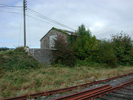 Castletown Railway Stationstore/warehouse · 822 yd
 Ecclesiastical enclosure in Adamstown (moycashel By.)Ecclesiastical enclosure · 852 yd
 Rathdrishoge CastleCastle, unclassified · 1007 yd
 Hill of UisneachMountain / peak · 3.2 mi
 European ashEuropean ash · 3.6 mi
 Sam's ParkForest · 3.7 mi
 St. Columba's WellSpring · 8.9 mi
 Moate HillMountain / peak · 9.7 mi
 Charles BianconiMemorial · 9.7 mi