What is recorded here
In an area of rough ground in the NW corner of a pasture field. Farm buildings and a farm yard lie immediately to W.
The nature of this monument is uncertain. It is indicated as a small circular structure (diam. c. 5m) named 'Faghtamonaghaun' on the 1837 OS 6-inch map, and 'Faghtamonaghaun (in Ruins)' on the 1913 edition. The name is not in the antiquarian typeface that is used for antiquities. According to local information, a small, grass-covered earthen rise was evident here in the first half of the 20th-century. No visible trace at ground level.
Compiled by: Patrick F. O'Donovan
Date of upload: 19 January 2011
This remains an important historical record, but the official description says the monument is no longer visible or has been destroyed. The monument record does not grant public access. Check the route and ask the landowner before entering private land.
- What survives
- No visible remains or recorded as destroyed
Places near here
 IndicatedFairy fort / earthen ringfort · 230 yd
 ToberabiddeenHoly well · 964 yd
 CastleCastle, ringwork · 981 yd
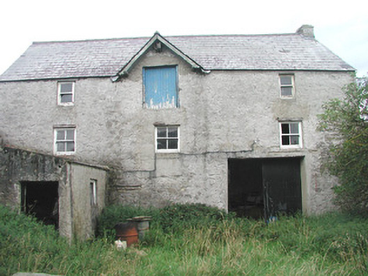 Swan Houseoutbuilding · 1290 yd
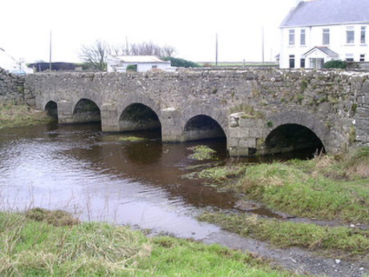 Finned Bridgebridge · 1336 yd
 Bawn in CastletownBawn · 1519 yd
 Bunowna PointHeadland · 1528 yd
 Wild Atlantic Way: Easky PierVisitor information · 1.0 mi
 Jim Smith MemorialMemorial · 1.6 mi
 Cooanmore PointHeadland · 2.0 mi
 Wild Atlantic Way: Inishcrone PierVisitor information · 6.6 mi
 Grave of the Black PigArchaeological place · 7.5 mi