What is recorded here
Situated at the crest of a N-facing slope. Archaeological testing (04E0067) identified three small pits (diam. c. 0.2-0.5m), and a gully (Wth c. 1m; D 0.3m; exposed L c. 25m N-S) which produced a flint and has an entrance gap (Wth c. 9m). The archaeological features were preserved under the development (McLoughlin 2005). Tomhaggerd tower house (WX047-050002-) and mass-house (WX047-050001-) are c. 90m to the N. (McLoughlin 2004a, 2004b, 2007)
Compiled by: Michael Moore
Date of upload: 21 Octiber, 2013
The monument record does not grant public access. Check the route and ask the landowner before entering private land.
- What survives
- Recorded monument
Places near here
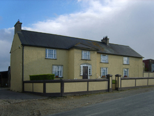 Tomhaggard Housefarm house · 65 yd
 St. James WellHoly well · 93 yd
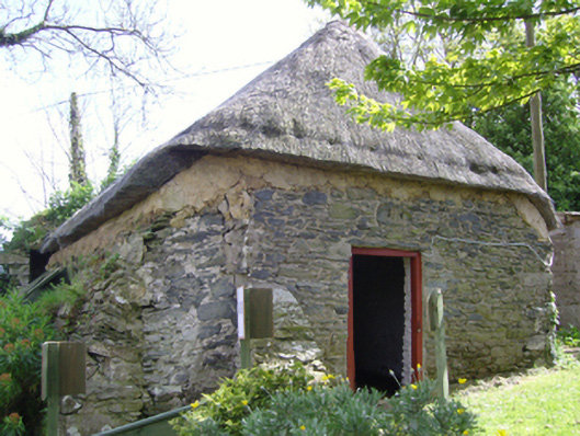 church/chapelchurch/chapel · 98 yd
 1798 Memorial PlaqueMemorial · 153 yd
 Ecclesiastical enclosure in TomhaggardEcclesiastical enclosure · 201 yd
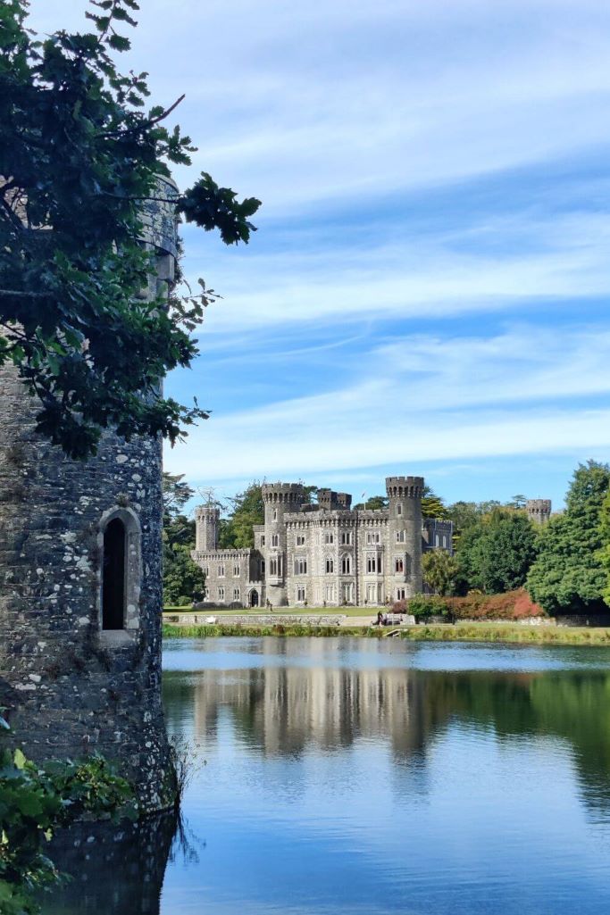 CastleCastle, tower house · 818 yd
 The Bull RockForest · 1021 yd
 The Heron's MeadowForest · 1293 yd
 The White Hole BeachBeach / strand · 1.6 mi
 The HamBay · 1.7 mi
 Castle (in ruins)Castle, tower house · 2.1 mi
 Ballyhealy BeachBeach / strand · 2.2 mi