What is recorded here
Identified in centre-line testing (E4110) in advance of the M11 Gorey to Enniscorthy road scheme and set aside for resolution as Riverview 1 (Hardy et al. 2010, 17-8). It is situated on a NW-facing slope with a small NE-SW stream c. 120m to the NW. It was completely excavated (E4343) by C. Hardy who recorded a single oval pit (dims 0.85m x 0.6m; D 0.52m)with five fills, some of which contained charcoal and broken stone at E. However, no artefacts were recovered. The area was largely occupied by post-medieval furrows. (Hardy 2012; 2013)
Compiled by: Michael Moore
Date of upload; 29 November, 2013
The monument record does not grant public access. Check the route and ask the landowner before entering private land.
- What survives
- Recorded monument
Places near here
 Fulacht fia in RiverviewFulacht fia · 378 yd
 Fulacht fia in RoperstownFulacht fia · 402 yd
 Scurlocksbush HillMountain / peak · 827 yd
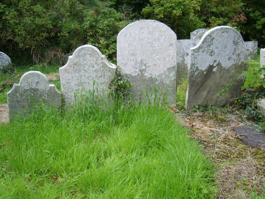 Edermine Church (Edermine)graveyard/cemetery · 1062 yd
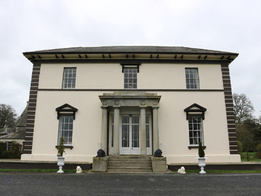 Edermine Housecountry house · 1478 yd
 Black Castle (in ruins)Castle, tower house · 1.2 mi
 King's IslandIsland · 2.1 mi
 CastleCastle, ringwork · 2.3 mi
 National 1798 CentreMuseum · 3.2 mi
 Battle of Vinegar HillMajor battlefield · 3.5 mi
 Duffry GateMemorial · 3.7 mi
 U.N. Peace MemorialMonument · 3.7 mi