What is recorded here
Circa 32m to the SE of a hilltop enclosure (LF010-080----). An extensive programme of archaeological trenching undertaken in 2006, in advance of a large housing development at Granard, revealed a series of three possible post-holes contained within an area 2m x 2m. Two of the post-holes (diam. 0.2m and 0.45m) were suboval in plan and one (diam. 0.13m) was subcircular. All were filled with homogenous mid-brown silty clay clearly discernible from the surrounding boulder clay. No dating material was obtained (Moore and Kiernan 2007, 34; Moore 2010, 304).
Compiled by: Patrick F. O'Donovan
Date of upload: 25 February 2013
The monument record does not grant public access. Check the route and ask the landowner before entering private land.
- What survives
- Recorded monument
Places near here
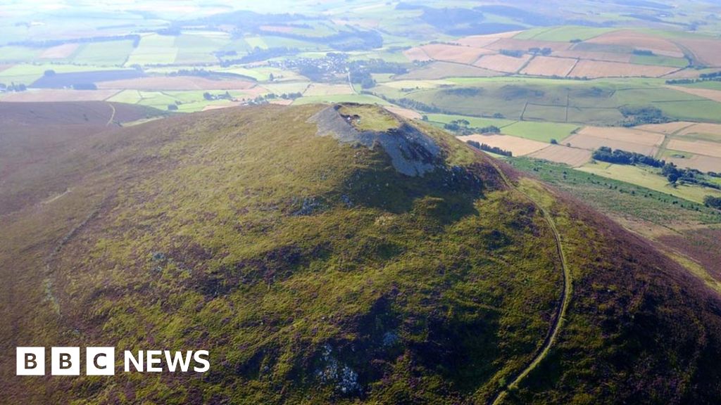 Hillfort in Granard,moatfield,teemoreHillfort · 127 yd
 Moat of GranardCastle, motte and bailey · 142 yd
 Saint Mary's Catholic Churchchurch/chapel · 147 yd
 CastleCastle, unclassified · 155 yd
 Granard MotteMotte-and-bailey castle remains · 156 yd
 1798 Monumentmonument · 185 yd
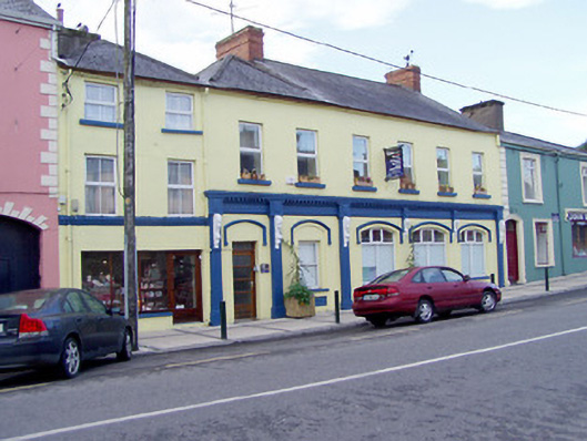 shop/retail outlet, houseshop/retail outlet, house · 241 yd
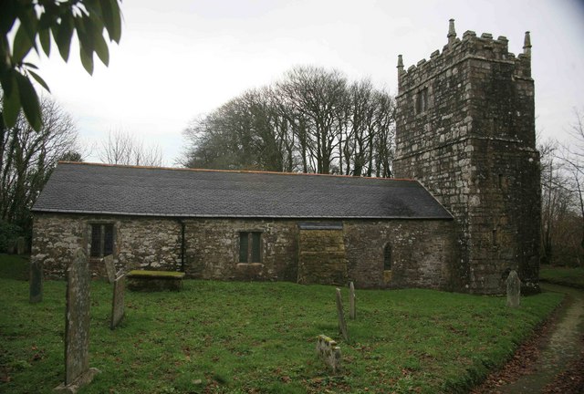 Grave YardGraveyard · 259 yd
 CartronfreeMountain / peak · 3.1 mi
 Clonfin Ambush MemorialMemorial · 3.7 mi
 Cloonfin WoodForest · 4.0 mi
 Derrycassan WoodsWood · 4.0 mi