What is recorded here
A pair of conjoined pits in a figure-of-eight form, were identified while excavating drains in advance of plantation (Excavation Licence No. 03E1142). Pit 1, (Wth 0.95m NW/SE; D 0.13m) was lined with large stones and contained charcoal rich soil with fragments of burnt bone, the base was fire-reddened. Pit 2 (Wth 0.72m NW/SE; D 0.08m) contained occasional stones and charcoal rich soil. A small flue fed into both pits. (Keane 2006, 343)
Compiled by: Claire Breen
Date of upload: 30 July 2012
The monument record does not grant public access. Check the route and ask the landowner before entering private land.
- What survives
- Recorded monument
Places near here
 CastleCastle, motte · 433 yd
 Church (in Ruins)Church · 636 yd
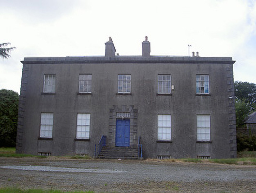 Piperstown Housecountry house · 836 yd
 ToberanelshyHoly well · 1.1 mi
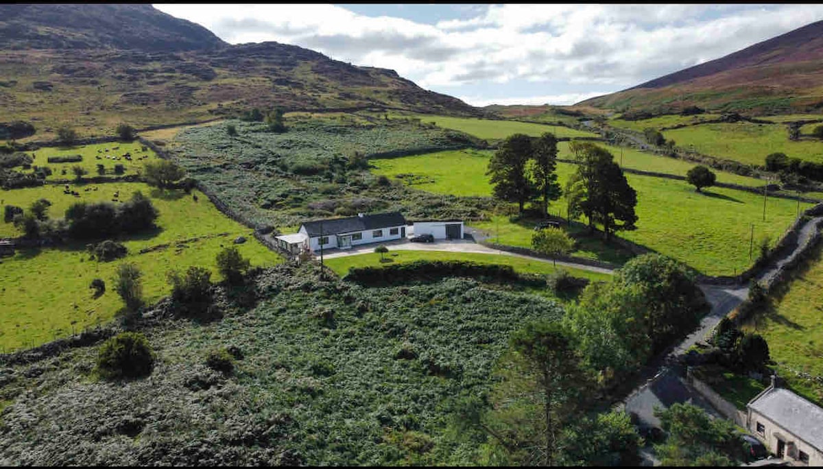 Man-made underground passage in BrownstownMan-made underground passage · 1.2 mi
 Chapel (in Ruins), GraveyardChurch · 2.1 mi
 CarstownCastle, unclassified · 2.2 mi
 MonasterboiceEarly monastic site · 2.4 mi
 Muiredach's High CrossHeritage attraction · 2.4 mi
 BarabonaMountain / peak · 3.3 mi
 Black HillMountain / peak · 4.6 mi
 Yellow IslandIslet · 4.6 mi