What is recorded here
On intertidal zone of River Shannon estuary, c. 120m to E of Carrigadirty Rock and c. 120m to N of flood relief embankment. A post row (peatland) (LI004-032011-) lies c. 48m to W. Not depicted on OS historic mapping. Listed as ‘Carrigadirty Rock 3' by O’ Sullivan (2001, 306) who described the site as following; 'Shallow pit in fen peat, rich in woody fragments and reeds, on level foreshore 15m N of saltmarsh cliff, to SE of Carrigdirty Rock 4. Oval in plan, 90cm long (NW, SE), 5()cm wide and 15cm in surviving depth. Erosion has removed its upper surface. Filled with a gritty, shell-rich, grey clay deposit and disarticulated bones of red deer and pinkfooted goose. Pig bone and deer antler (Carrigdirty Rock 9) also found on adjacent forehsore.'
See attached Google Earth orthoimage
Compiled by: Alison McQueen and Vera Rahilly
Date of upload: 19 June 2020
The monument record does not grant public access. Check the route and ask the landowner before entering private land.
- What survives
- Recorded monument
Places near here
 Habitation site in Newtown (pubblebrien By.)Habitation site · 759 yd
 Grass IslandIslet · 1.2 mi
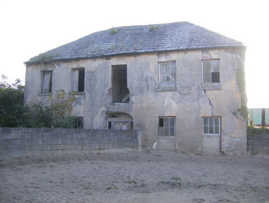 Churchfield Dairyhouse · 1.4 mi
 Rinekirk PointHeadland · 1.4 mi
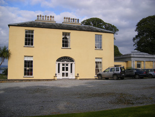 Mellon Housecountry house · 1.4 mi
 Maiden RockNamed rock · 1.5 mi
 Enclosure in BallynacarrigaEnclosure · 1.7 mi
 Sailors HaggardMemorial · 1.7 mi
 Castle Donnell (Site of)Castle, unclassified · 2.1 mi
 Carrigogunnell CastleRuins · 2.2 mi
 St James's WellSpring · 2.4 mi
 Bunratty Castlehouse · 2.5 mi