What is recorded here
Identified in centre-line testing (E4110) in advance of the M11 Gorey to Enniscorthy road scheme and resolved by A. Mulcahy as Mountgeorge 8 (E4352) during the testing stage (Hardy et al. 2010, 54-5). It is situated on a slight NW-facing slope with a SE-NW section of NE-SW stream c. 70m to the N at a point where the stream turns SW and it is also c. 70m distant to the NW. This is a circular pit (diam. 1.5m; D 0.22m) filled with two fills, the lower with heat-affected stones, and both with charcoal flecks. A sample from the primary fill provided a C14 date of Cal. AD 775-994. (McNamara 2011; 2013)
Compiled by: Michael Moore
Date of upload: 26 November, 2013
The monument record does not grant public access. Check the route and ask the landowner before entering private land.
- What survives
- Recorded monument
Places near here
 KilnKiln, corn-drying · 227 yd
 Hearth in QuarryHearth · 400 yd
 Holy well in MountgeorgeHoly well · 552 yd
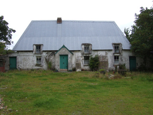 farm housefarm house · 659 yd
 The GroveWood · 1211 yd
 The CoilWood · 1408 yd
 Giants BedNamed rock · 1.2 mi
 Carrigroe HillMountain / peak · 1.8 mi
 Father Murphy CentreHeritage attraction · 2.2 mi
 Milshoge RockMountain / peak · 2.3 mi
 Ferns Castle (in ruins)Castle, Anglo-Norman masonry castle · 3.2 mi
 CastleCastle, unclassified · 3.9 mi