What is recorded here
Identified in centre-line testing (E4110) in advance of the M11 Gorey to Enniscorthy road scheme and set aside for resolution as Quarry 1 (Hardy et al. 2010, 49-50). It is situated towards the bottom of a W-facing slope. It was excavated (E4353) by M. McNamara as a circular layer (diam. 0.65m; T 0.05-0.07m) of grey-black silty sand with some stones and charcoal over a slightly scorched subsoil. There were no other features other than a N-S drain (Wth 0.5-0.6m; D 0.4m) just to the W, which is thought to be post-medieval, but the date of the hearth is not known. (Hardy and McNamara 2012; McNamara 2013)
Compiled by: Michael Moore
Date of upload: 26 November, 2013
Identified in centre-line testing (E4110) in advance of the M11 Gorey to Enniscorthy road scheme and set aside for resolution as Quarry 1 (Hardy et al. 2010, 49-50). It is situated towards the bottom of a W-facing slope. It was excavated (E4353) by M. McNamara as a circular layer (diam. 0.65m; T 0.05-0.07m) of grey-black silty sand with some stones and charcoal over a slightly scorched subsoil. There were no…
From the National Monuments Service (Archaeological Survey of Ireland) record WX016-059
The monument record does not grant public access. Check the route and ask the landowner before entering private land.
- What survives
- Recorded monument
Places near here
Photo credits
- National Inventory of Architectural Heritage
- liam murphy, Wikimedia Commons · CC BY-SA 2.0
- 瑞丽江的河水, Wikimedia Commons · CC BY-SA 4.0
- Bruce Marlin, Wikimedia Commons · CC BY-SA 2.5
- Hywel Williams, Wikimedia Commons · CC BY-SA 2.0
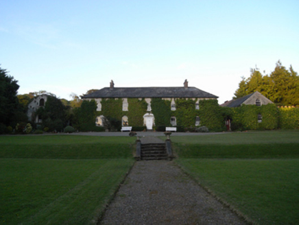 Rockspring HouseFarm house · 802 yd
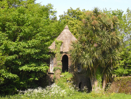 Rockspring HouseFolly · 807 ydFulacht fia in RockspringFulacht fia · 872 ydGiants BedNamed rock · 1.0 miCarrigroe HillMountain / peak · 1.5 miMilshoge RockMountain / peak · 2.2 miFather Murphy CentreHeritage attraction · 2.2 mi
 Saint Mogue's WellSpring · 3.0 mi
 Ferns Castle (in ruins)Castle, Anglo-Norman masonry castle · 3.3 mi
 Fontainebleau service tree4.6 miFontainebleau service tree4.7 mi
 Tulach a' tSolaisMonument · 5.0 mi
More archaeology and monuments in County Wexford · All of County Wexford
What do you know about this place?