What is recorded here
Situated on the floodplain of the River Suir. A pit (diam. 0.7-0.75m; D 0.3m) filled with grey silty clay with some charcoal was excavated (03E0344) by Aidan O'Connell of Archaeological Consultancy Services at Knockhouse 4 in advance of the Waterford city by-pass. (O'Connell 2006b)
O'Connell, A. (2006b) Knockhouse Upper 4. Pit. in I. Bennett (Ed.) Excavations 2003: summary accounts of excavations in Ireland, 506, No. 1909. Wordwell. Bray.
Compiled by: Michael Moore
Date of upload: 26 August 2010
The monument record does not grant public access. Check the route and ask the landowner before entering private land.
- What survives
- Recorded monument
Places near here
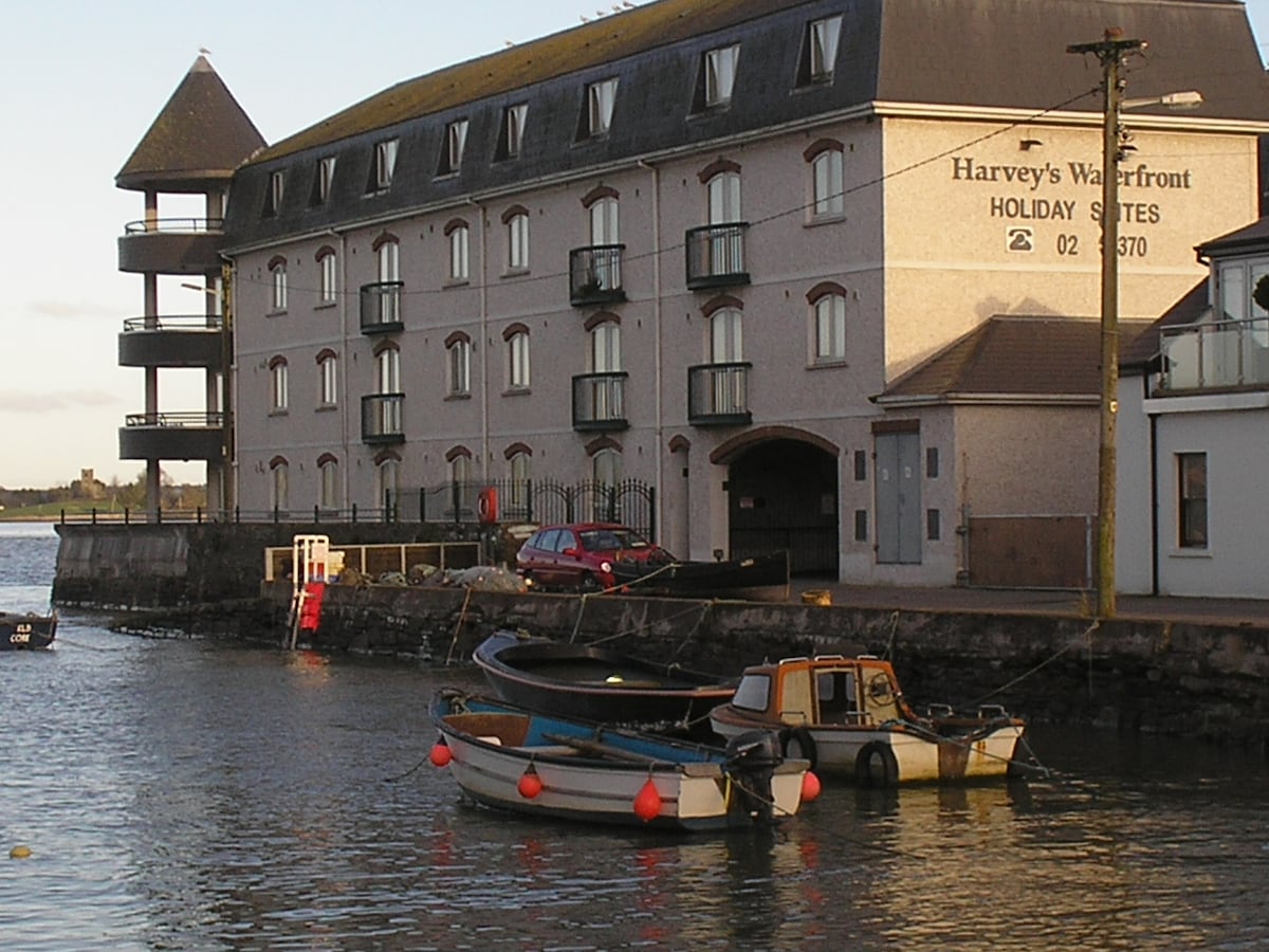 Fulacht fia in Knockhouse UpperFulacht fia · 185 yd
 Hearth in Knockhouse UpperHearth · 680 yd
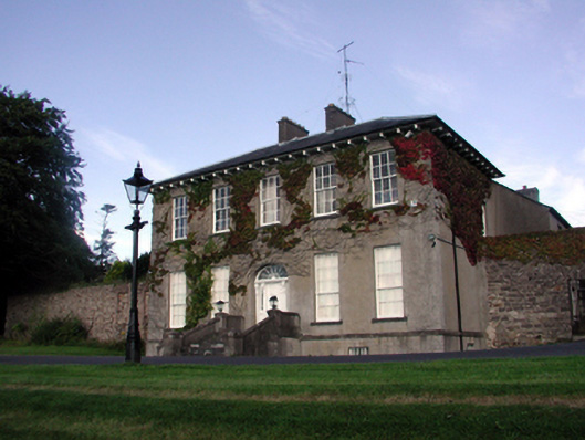 Carriganore Househouse · 911 yd
 Native Irish Tree TrailWood · 913 yd
 Native Woodland Trust:Grace Dieu ReserveWood · 1089 yd
 Kiln in Knockhouse LowerKiln · 1618 yd
 Corluddy Castle (in Ruins)Castle, tower house · 1.1 mi
 Granny CastleCastle, tower house · 1.6 mi
 Mount Congreve GardensHeritage attraction · 2.0 mi
 Waterford & Suir Valley RailwayHeritage attraction · 3.0 mi
 Sugar Loaf RockMountain / peak · 3.5 mi
 Ballyscanlon HillMountain / peak · 6.7 mi