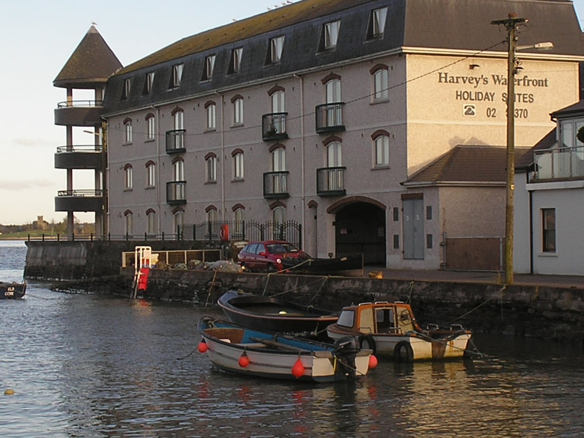
What is recorded here
Located on the floodplain of the River Suir. First identified in centre-line testing (02E0274) by Deirdre Murphy of Archaeologoical Consultancy Services in advance of the N25 Waterford City by-pass (Murphy 2004). Fully excavated (03E0340) by Aidan O'Connell of ACS, it became known as Knockhouse Upper 3. A burnt mound (dims. 7m E-W; 5m N-S; T 0.15m) is associated with an oval unlined trough (dims. 2.16m NE-SW; 1.56m NW-SE; D 0.35m). Nineteenth century brick-kilns were nearby. Excavated features (WA009-022----) are c. 180m to the NNE. (O'Connell 2006a; O'Connell and Ginn 2011)
Murphy, D. (2004) ‘Knockhouse Upper/Knochhouse Lower/Woodstown (N25 Waterford by-pass Contract 1, site B’, in I. Bennett (Ed.) Excavations 2002: summary accounts of archaeological excavations in Ireland, 493, No. 1799. Wordwell. Bray.
O'Connell, A. (2006a) Knockhouse Upper 4. Pit. in I. Bennett (Ed.) Excavations 2003: summary accounts of excavations in Ireland, 506, No. 1908. Wordwell. Bray.
O’Connell, A. and V. Ginn (2011b) Knockhouse Upper 3, Co. Waterford. in J. Eogan and E. Shee-Twohig (2011) Cois tSiúire – nine thousand years of human activity in the lower Suir valley. Archaeological excavations on the N25 Waterford city bypass, vol. 2, 22-5. NRA road scheme: Monograph 8, Dublin
Compiled by: Michael Moore
Date of upload: 08 December 2010
The monument record does not grant public access. Check the route and ask the landowner before entering private land.
- What survives
- Recorded monument
Places near here
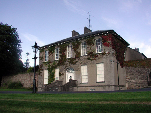 Carriganore Househouse · 727 yd
 Native Irish Tree TrailWood · 746 yd
 Hearth in Knockhouse UpperHearth · 863 yd
 Fulacht fia in Woodstown (middlethird By., Killoteran Par.)Fulacht fia · 885 yd
 Native Woodland Trust:Grace Dieu ReserveWood · 1271 yd
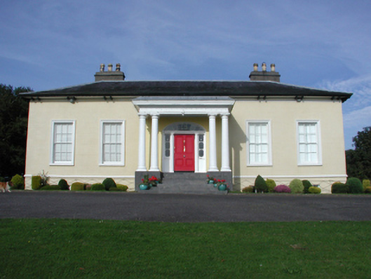 Killoteran Househouse · 1549 yd
 Corluddy Castle (in Ruins)Castle, tower house · 1.1 mi
 Granny CastleCastle, tower house · 1.7 mi
 Mount Congreve GardensHeritage attraction · 1.9 mi
 Waterford & Suir Valley RailwayHeritage attraction · 2.9 mi
 Sugar Loaf RockMountain / peak · 3.4 mi
 Ballyscanlon HillMountain / peak · 6.6 mi
Other information
Photo: Credit not shown in the picture search · Rights wording not checked; contact us if this picture should be removed