What is recorded here
This site was identified through archaeological monitoring (Licence no. 04E0969) of topsoil stripping and excavated (Licence no. 05E0303) ahead of the insertion of services. Located to the east of Killeen Demesne along the 97m contour line, the site consisted of seventy-six features within the stripped area (dims 60m E-W; 20m N-S). There were three distinct but related foci including pits containing charcoal-rich fill/burnt stone material; a series of small pits (diam. < 1m) and stakeholes and later drainage activity. A total of 34 lithics were recovered and included diagnostic pieces with their origin in the Neolithic but their use extending into the Bronze age including a hollow scraper, round scraper, thumbnail scraper and concave scraper. Three samples returned an Early Bronze Age date range (2580-2139 BC) for activity on site (Baker 2009, 37-40).
Compiled by: Christine Baker
Date of upload: 22 February 2015
The monument record does not grant public access. Check the route and ask the landowner before entering private land.
- What survives
- Recorded monument
Places near here
 mill (water)mill (water) · 635 yd
 Enclosure in KilleenEnclosure · 653 yd
 Killeen CastleCastle, tower house · 884 yd
 AbbeyChurch · 956 yd
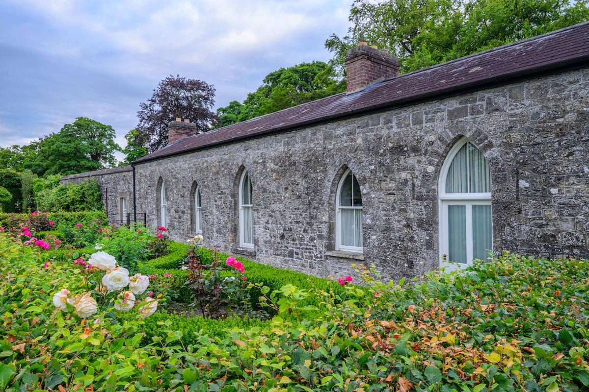 Lady WellHoly well · 957 yd
 Laurel WoodsWood · 1.3 mi
 Dunsany CastleCastle, unclassified · 1.6 mi
 Barrack WoodsWood · 1.6 mi
 Battle of Tara Hillbattle · 3.3 mi
 Battle of Tara (Ireland)Major battlefield · 3.3 mi
 Tara Open StudioGallery · 3.5 mi
 Saint Patrick'sMemorial · 3.5 mi