What is recorded here
Discovered during archaeological monitoring (Excavation Licence 99E0683). Two pits filled with burnt soil and heat shattered stones. One was oval shaped (max. diam. 1.3m; D 0.2m) and the other was irregular in shape (1.1m x 0.64m; max. D 0.24m). (O' Carroll 2000, 185-6)
Compiled by: Claire Breen
Date of upload: 19 April 2012
The monument record does not grant public access. Check the route and ask the landowner before entering private land.
- What survives
- Recorded monument
Places near here
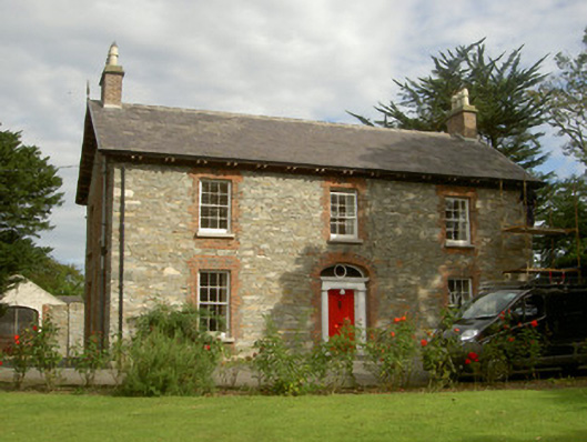 Seafield Househouse · 259 yd
 Church (in Ruins)Church · 375 yd
 IndicatedCastle, unclassified · 478 yd
 CastleCastle, unclassified · 720 yd
 SundialMonument · 870 yd
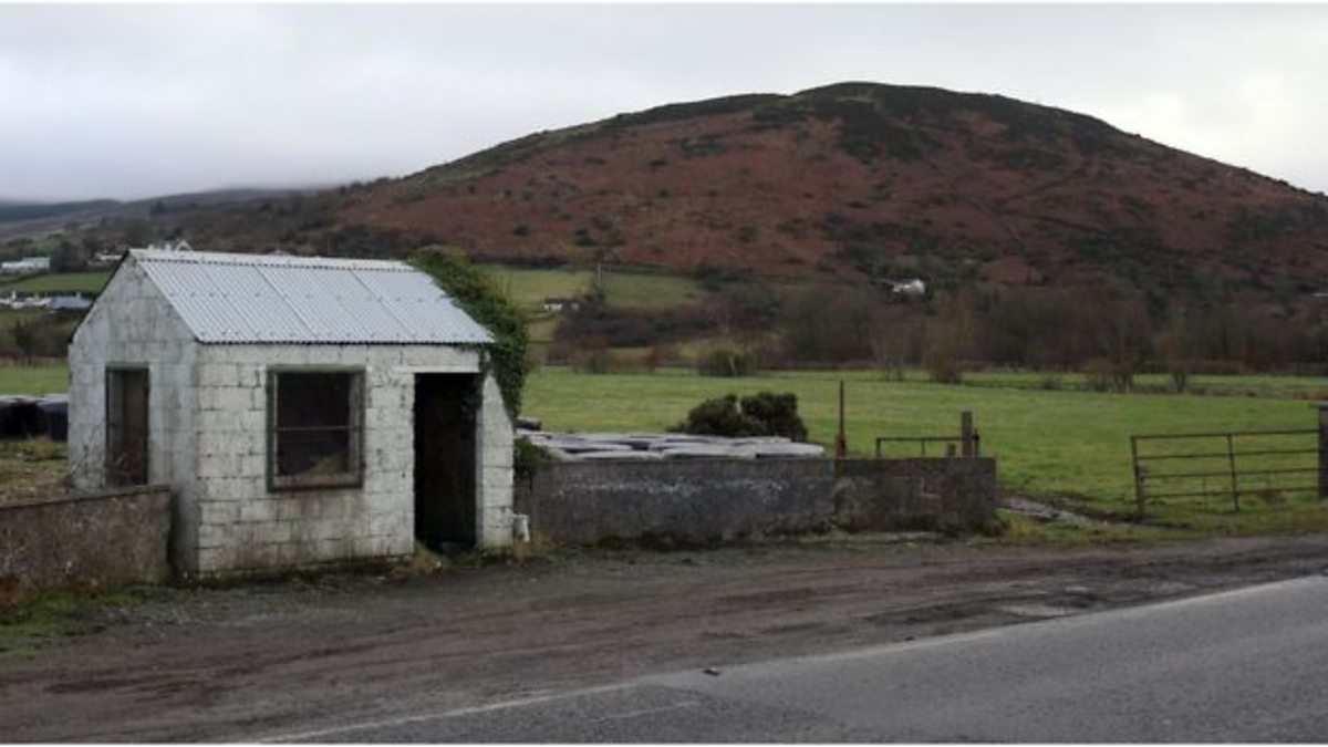 Enclosure in HaggardstownEnclosure · 1623 yd
 Broad WoodForest · 1.0 mi
 Long WoodForest · 1.2 mi
 Louth County MuseumMuseum · 3.0 mi
 Bombing 1975Memorial · 3.0 mi
 Photo GalleryHeritage attraction · 3.0 mi
 Maid of ErinMemorial · 3.0 mi