What is recorded here
This pit was discovered in 2001 during an archaeological testing programme in advance of the N22 Ballincollig Bypass. Subsequent excavation in 2002 revealed an isolated subcircular pit (1m N-S x 0.9m; D 0.17m) with two separate fills. The primary fill was a loose, charcoal-stained, clayey silt containing a high quantity of heat-shattered stone. The secondary fill at the E of the pit consisted of a small pocket of redeposited subsoil. According to the excavator (Danaher 2004h, 79), though the primary fill contained a charcoal-enriched and heat-shattered stone fill, there was no evidence to indicate that this pit may have functioned as a hearth. (Danaher 2002a; 2004h, 79)
The above description is derived from 'The Archaeological Inventory of County Cork. Volume 5' (Dublin: Stationery Office, 2009).
Date of upload: 22 December 2009
The monument record does not grant public access. Check the route and ask the landowner before entering private land.
- What survives
- Recorded monument
Places near here
 Enclosure in Greenfield (muskerry East By.)Enclosure · 285 yd
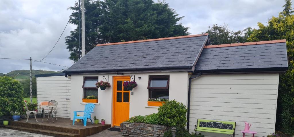 Hearth in LisheensHearth · 627 yd
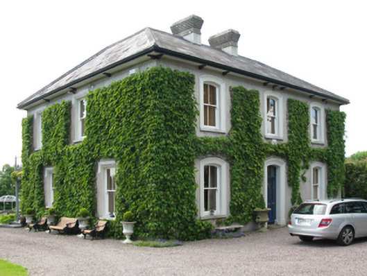 Coolroe House originally Millview Househouse · 780 yd
 IndicatedKiln, lime · 844 yd
 Ballincollig CastleCastle · 1.0 mi
 Ballincollig Castle (in Ruins)Castle, tower house · 1.0 mi
 Cave in Ballincollig (muskerry East By., Carrigrohane Par.)Cave · 1.0 mi
 Hugh MaguireMemorial · 1.1 mi
 Graveyard in Carrigane (muskerry East By.)Graveyard · 1.1 mi
 Grange HillMountain / peak · 1.2 mi
 Iniscarra Dam ViewViewpoint · 2.1 mi
 Stone BeachBeach / strand · 2.4 mi